Martin Lehn
Martin Lehn is a doctor’s office in Witten, Ennepe-Ruhr-Kreis, North Rhine-Westphalia. Martin Lehn is situated nearby to Park Marien-Hospital, as well as near Marian-Hospital.| Tap on a place to explore it |
- Opening hours:
Tuesday: 8:00 AM—noon
Thursday: 1:00 PM—5:00 PM
public holidays: closed - Type: Doctor’s office
- Also known as: “Martin Lehn Filialpraxis für Kinder und Jugendkardiologie”
- Wheelchair access: yes
Places of Interest Nearby
Highlights include Marian-Hospital and St. Marien.

St. Marien
Church
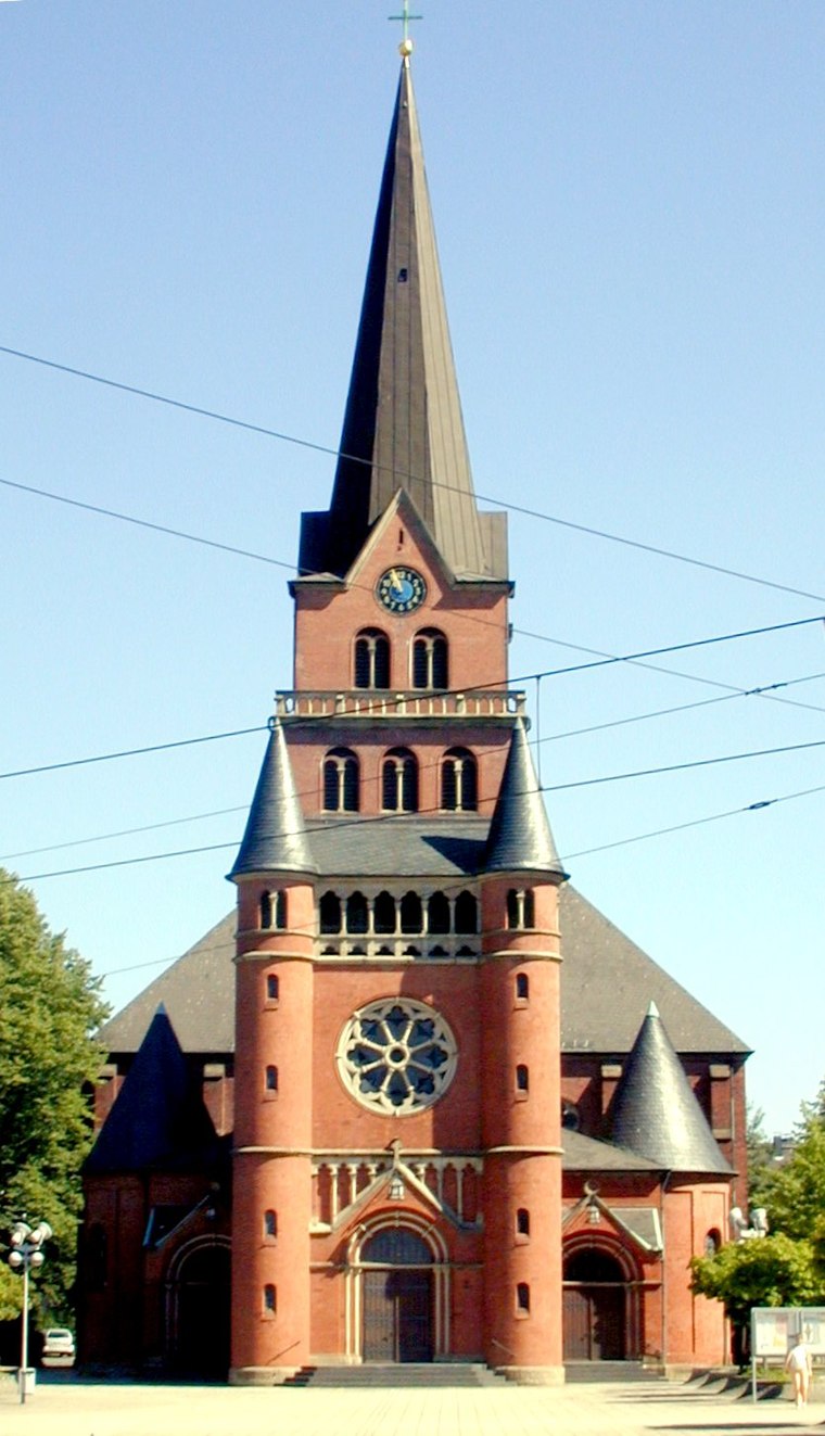
Photo: Jty, CC BY-SA 3.0.
St. Marien is a church, which is situated 110 metres northwest of Martin Lehn.
Jewish cemetery Ledderken
Heritage site
 Jewish cemetery Ledderken is a heritage site, which is situated 220 metres northeast of Martin Lehn.
Places in the Area
Nearby places include Crengeldanz and Krone.


Witten-Wullen
Neighborhood

Photo: Wikimedia, CC BY-SA 3.0.
Wullen is a city-district of Witten-Annen, which is a part of the City of Witten. Wullen is placed about 3 kilometres northeast of the City of Witten.
Martin Lehn
- Category: health care
- Location: Witten, Ennepe-Ruhr-Kreis, Arnsberg, Ruhr, North Rhine-Westphalia, Germany, Central Europe, Europe
- View on OpenStreetMap
Latitude
51.44544° or 51° 26′ 44″ northLongitude
7.33794° or 7° 20′ 17″ eastOperator
Martin LehnOpen location code
9F39C8WQ+55OpenStreetMap ID
node 3801153330OpenStreetMap feature
amenity=doctorsOpenStreetMap feature
healthcare=doctorOpenStreetMap attribute
wheelchair=yes
This page is based on OpenStreetMap, Wikidata, and Wikimedia Commons.
We’d love your help improving our open data sources. Thank you for contributing.
Satellite Map
Discover Martin Lehn from above in high-definition satellite imagery.
Notable Places Nearby
Highlights include Park Marien-Hospital and Marienplatz.
Nearby Places
Explore places such as Dialyse Marienhospital and Praxisgemeinschaft Marienplatz.
Ruhr: Must-Visit Destinations
Delve into Dortmund, Essen, Duisburg, and Bochum.
Curious Doctor’s Offices to Discover
Uncover intriguing doctor’s offices from every corner of the globe.
About Mapcarta. Data © OpenStreetMap contributors and available under the Open Database License". Text is available under the CC BY-SA 4.0 license, except for photos, directions, and the map. Photo: Raenmaen, CC BY-SA 3.0.