Harriet Kölling
Harriet Kölling is a memorial in Schwerte, Unna, North Rhine-Westphalia. Harriet Kölling is situated nearby to the square Cava-dei-Tirreni-Platz, as well as near the marketplace Marktplatz.| Tap on a place to explore it |
- Type: Memorial
- Inscription: “Hier wohnte, Harriet Kölling, Jg. 1912, Flucht Holland, überlebt”
- Wheelchair access: limited
Places of Interest Nearby
Highlights include Ruhrtalmuseum and St.-Victor- church.
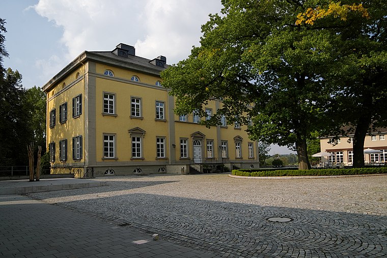
Ruhrtalmuseum
Museum

Photo: Wikimedia, Public domain.
Ruhrtalmuseum is situated 140 metres southeast of Harriet Kölling.
St.-Victor- church
Church

Photo: Wikimedia, Public domain.
St.-Victor- church is situated 170 metres southeast of Harriet Kölling.
Marienkrankenhaus Schwerte
Hospital

Photo: Kogge, CC BY-SA 3.0.
Marienkrankenhaus Schwerte is a hospital, which is situated 300 metres north of Harriet Kölling.
Places in the Area
Nearby places include Villigst and Ergste.
Villigst
Suburb
 Villigst is a Stadtteil of the city Schwerte in North Rhine-Westphalia, Germany. On 31 December 2012, Villigst had a population of 3.309 inhabitants. It lies south of the river Ruhr near Sauerland.
Ergste
Suburb
Ergste is a stadtbezirk of the town of Schwerte in Germany. As of 31 December 2012, Ergste had a population of 7025 inhabitants. It lies south of the river Ruhr near Sauerland. Ergste is situated 3 km south of Harriet Kölling.
Westhofen
Suburb

Photo: DINO2411, CC BY-SA 3.0.
Westhofen is a suburb, which is situated 3 km southwest of Harriet Kölling.
Harriet Kölling
- Category: historic site
- Location: Schwerte, Unna, Arnsberg, North Rhine-Westphalia, Germany, Central Europe, Europe
- View on OpenStreetMap
Latitude
51.44129° or 51° 26′ 29″ northLongitude
7.56856° or 7° 34′ 7″ eastInception
September 5th, 2006Network
StolpersteineOpen location code
9F39CHR9+GCOpenStreetMap ID
node 3814454852OpenStreetMap feature
historic=memorialOpenStreetMap attribute
wheelchair=limited
This page is based on OpenStreetMap, Wikidata, and Wikimedia Commons.
We’d love your help improving our open data sources. Thank you for contributing.
Satellite Map
Discover Harriet Kölling from above in high-definition satellite imagery.
Notable Places Nearby
Highlights include Cava-dei-Tirreni-Platz and Marktplatz.
Nearby Places
Explore places such as Hedwig Kölling geb. Hirschberg and Gisela Kölling.
North Rhine-Westphalia: Must-Visit Destinations
Delve into Cologne, Düsseldorf, Bonn, and Dortmund.
Curious Memorials to Discover
Uncover intriguing memorials from every corner of the globe.
About Mapcarta. Data © OpenStreetMap contributors and available under the Open Database License". Text is available under the CC BY-SA 4.0 license, except for photos, directions, and the map. Photo: Daniel Schwen, CC BY-SA 2.5.