Moulin de Montsigny
Moulin de Montsigny is a hamlet in Saint-Léger-du-Bois, Arrondissement of Autun, Bourgogne-Franche-Comté. Moulin de Montsigny is situated nearby to the hamlet Champsigny, as well as near Chevannes.| Tap on a place to explore it |
Places of Interest
Highlights include Château de Lally.

Places in the Area
Nearby places include Igornay and Curgy.
Igornay
Village

Photo: PHILDIC, Public domain.
Igornay is a commune in the Saône-et-Loire department in the region of Bourgogne-Franche-Comté in eastern France. Igornay is situated 3 km northwest of Moulin de Montsigny.
Curgy
Village
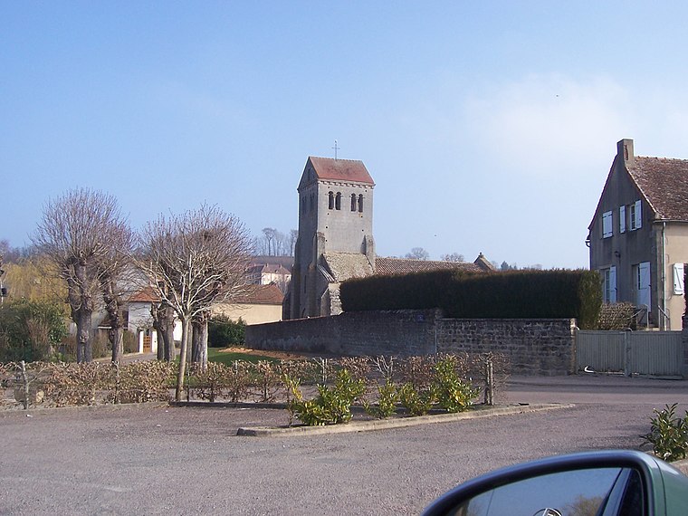
Photo: Ksnow, CC BY-SA 4.0.
Curgy is a commune in the Saône-et-Loire department in the region of Bourgogne-Franche-Comté in eastern France. Curgy is situated 4 km south of Moulin de Montsigny.
Cordesse
Village

Photo: Ksnow, CC BY-SA 4.0.
Cordesse is a commune in the Saône-et-Loire department in the region of Bourgogne-Franche-Comté in eastern France. It is located north of Autun. Cordesse is situated 4½ km west of Moulin de Montsigny.
Moulin de Montsigny
- Type: Hamlet
- Category: locality
- Location: Saint-Léger-du-Bois, Arrondissement of Autun, Saône-et-Loire, Bourgogne-Franche-Comté, France, Europe
- View on OpenStreetMap
Latitude
47.02435° or 47° 1′ 28″ northLongitude
4.39737° or 4° 23′ 51″ eastOpen location code
8FV629FW+PWOpenStreetMap ID
node 3817703040OpenStreetMap feature
place=hamlet
This page is based on OpenStreetMap, Wikidata, and Wikimedia Commons.
We’d love your help improving our open data sources. Thank you for contributing.
Satellite Map
Discover Moulin de Montsigny from above in high-definition satellite imagery.
Localities in the Area
Explore places such as Champsigny and Chevannes.
Notable Places Nearby
Highlights include Château de Savigny-le-Vieux and Mairie d’Igornay.
Saône-et-Loire: Must-Visit Destinations
Delve into Mâcon, Autun, Paray-le-Monial, and Taizé Community.
Curious Hamlets to Discover
Uncover intriguing hamlets from every corner of the globe.
About Mapcarta. Data © OpenStreetMap contributors and available under the Open Database License". Text is available under the CC BY-SA 4.0 license, except for photos, directions, and the map. Photo: Inisheer, CC BY-SA 3.0.