RegioPflegedienst Klaus Klee
RegioPflegedienst Klaus Klee is a social service facility in Staufen im Breisgau, Breisgau-Hochschwarzwald, Baden-Württemberg. RegioPflegedienst Klaus Klee is situated nearby to the public building Einsegnungshalle, as well as near Staufen Süd railway stop.| Tap on a place to explore it |
Places of Interest Nearby
Highlights include Staufen Ceramics Museum and Rathaus.
Staufen Ceramics Museum
Museum

Photo: Andreas Schwarzkopf, CC BY-SA 3.0.
Staufen Ceramics Museum is situated 590 metres east of RegioPflegedienst Klaus Klee.
Rathaus
Town hall

Photo: Andreas Schwarzkopf, CC BY-SA 3.0.
Rathaus is a town hall, which is situated 750 metres east of RegioPflegedienst Klaus Klee.
Luther Church (Staufen im Breisgau)
Church

Photo: Joergens.mi, CC BY-SA 3.0.
Luther Church (Staufen im Breisgau) is situated 630 metres east of RegioPflegedienst Klaus Klee.
Places in the Area
Nearby places include Bad Krozingen and Sulzburg.
Bad Krozingen
Town
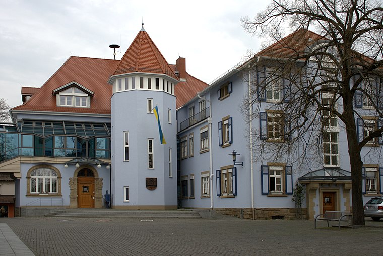
Photo: Ireas, CC BY-SA 4.0.
Bad Krozingen is a spa town in the district Breisgau-Hochschwarzwald, in Baden-Württemberg, Germany. It is situated 15 km southwest of Freiburg. In the 1970s, the previously independent villages Biengen, Hausen an der Möhlin, Schlatt and Tunsel, including Schmidhofen, became part of Bad Krozingen. Bad Krozingen is situated 4 km northwest of RegioPflegedienst Klaus Klee.
Sulzburg
Town

Photo: Taxiarchos228, CC BY 3.0.
Sulzburg is a town in the district Breisgau-Hochschwarzwald, in Baden-Württemberg, Germany. It is situated on the western slope of the Black Forest, 20 km southwest of Freiburg. Sulzburg is situated 4½ km south of RegioPflegedienst Klaus Klee.
Tunsel
Village
Tunsel is a village in the district of Breisgau-Hochschwarzwald in Baden-Württemberg. Since January 1974, it is an Ortsteil of Bad Krozingen. Tunsel is situated 4½ km northwest of RegioPflegedienst Klaus Klee.
RegioPflegedienst Klaus Klee
Latitude
47.88024° or 47° 52′ 49″ northLongitude
7.72202° or 7° 43′ 19″ eastOpen location code
8FV9VPJC+3ROpenStreetMap ID
node 3828652858OpenStreetMap feature
amenity=social_facility
This page is based on OpenStreetMap, Wikidata, and Wikimedia Commons.
We’d love your help improving our open data sources. Thank you for contributing.
Satellite Map
Discover RegioPflegedienst Klaus Klee from above in high-definition satellite imagery.
Notable Places Nearby
Highlights include Einsegnungshalle and Staufen Süd railway stop.
Nearby Places
Explore places such as Der Friseur Laden and Dr. Gerhardt.
Baden-Württemberg: Must-Visit Destinations
Delve into Stuttgart, Heidelberg, Karlsruhe, and Mannheim.
Curious Social Service Facilities to Discover
Uncover intriguing social service facilities from every corner of the globe.
About Mapcarta. Data © OpenStreetMap contributors and available under the Open Database License". Text is available under the CC BY-SA 4.0 license, except for photos, directions, and the map. Photo: Traveler100, CC BY-SA 3.0.