Bernauer/Widauer
Bernauer/Widauer is a memorial in Kiefersfelden, Rosenheim, Bavaria. Bernauer/Widauer is situated nearby to the peak Teufelskanzel, as well as near the garden Ausstellungsfläche.| Tap on a place to explore it |
Places of Interest Nearby
Highlights include Tischofer Cave and Sankt-Otto-Kapelle.
Tischofer Cave
Cave

Photo: Bonanza, CC BY-SA 3.0.
The Tischofer Cave is a cave in the Kaisertal valley in the Kaisergebirge mountains in Austria. It was a locally important gathering place and weapons cache during the Tyrolean Rebellion in the Napoleonic Wars. Tischofer Cave is situated 780 metres south of Bernauer/Widauer.
Sankt-Otto-Kapelle
Church
 Sankt-Otto-Kapelle is a church, which is situated 1½ km west of Bernauer/Widauer.
Dickichtkapelle
Church

Photo: Gabitir, CC BY-SA 4.0.
Dickichtkapelle is a church, which is situated 1¼ km south of Bernauer/Widauer.
Places in the Area
Nearby places include Kienbichl and Kufstein.
Kienbichl
Neighborhood

Photo: Ricardalovesmonuments, CC BY-SA 4.0.
Kienbichl is a neighborhood, which is situated 3 km southwest of Bernauer/Widauer.
Kufstein

Photo: Wikimedia, CC BY-SA 3.0.
Kufstein is a city in the Austrian region of Northeast Tyrol with a population of about 20,000 inhabitants, making it the second largest city in Tyrol after its capital Innsbruck.
Niederndorf
Village
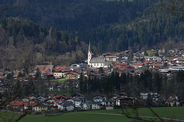
Photo: Rufus46, CC BY-SA 3.0.
Niederndorf is a municipality in the Kufstein district in the Austrian state of Tyrol located 7 km north of Kufstein and 2 km north above Ebbs near the border to Bavaria, Germany. Niederndorf is situated 6 km north of Bernauer/Widauer.
Bernauer/Widauer
- Type: Memorial
- Inscription: “Christliches Andenken an die ehrenwerten Jünglinge Josef Bernauer und Simon Widauer Tyroler Schützen im Kriegsjahre 1809...”
- Category: historic site
- Location: Kiefersfelden, Rosenheim, Upper Bavaria, Bavaria, Germany, Central Europe, Europe
- View on OpenStreetMap
Latitude
47.59931° or 47° 35′ 58″ northLongitude
12.19878° or 12° 11′ 56″ eastOpen location code
8FVJH5XX+PGOpenStreetMap ID
node 3837935070OpenStreetMap feature
historic=memorial
This page is based on OpenStreetMap, Wikidata, and Wikimedia Commons.
We’d love your help improving our open data sources. Thank you for contributing.
Satellite Map
Discover Bernauer/Widauer from above in high-definition satellite imagery.
Notable Places Nearby
Highlights include Teufelskanzel and Ausstellungsfläche.
Nearby Places
Explore places such as Kaiser Nordwand and Lagerhaus Kaisertal.
Upper Bavaria: Must-Visit Destinations
Delve into Munich, Ingolstadt, Rosenheim, and Dachau.
Curious Memorials to Discover
Uncover intriguing memorials from every corner of the globe.
About Mapcarta. Data © OpenStreetMap contributors and available under the Open Database License". Text is available under the CC BY-SA 4.0 license, except for photos, directions, and the map. Photo: Aconcagua, CC BY-SA 3.0.