Ontario Travel Information Centre
Ontario Travel Information Centre is a tourism office in Old Toronto, Toronto, Ontario which is located on Front Street West. Ontario Travel Information Centre is situated nearby to the health club GoodLife Fitness, as well as near the office building Citigroup Place.| Tap on a place to explore it |
Places of Interest Nearby
Highlights include Yonge-Dundas and CN Tower.
Yonge-Dundas

Photo: Benson Kua, CC BY-SA 2.0.
Yonge-Dundas is the very heart of downtown Toronto—in more ways than one. After all, the major arterials of Yonge Street and Dundas St meet here, and the resulting intersection may be the city's busiest.
CN Tower

Photo: Taxiarchos228, CC BY-SA 3.0.
The CN Tower is a 553.3 m-high communications and observation tower in Toronto, Ontario, Canada. Completed in 1976, it is located in downtown Toronto, built on the former Railway Lands. CN Tower is situated 500 metres southwest of Ontario Travel Information Centre.
Toronto Union Station
Railway station

Photo: remundo, CC BY-SA 2.0.
Union Station is a major railway station and intermodal transportation hub in Toronto, Ontario, Canada. The station is located in downtown Toronto, on Front Street West, on the south side of the block bounded by Bay Street and York Street. Toronto Union Station is situated 120 metres east of Ontario Travel Information Centre.
Places in the Area
Nearby places include Financial District and South Core.
Financial District
Neighborhood
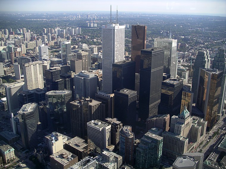
Photo: Patrickneil, CC BY-SA 3.0.
The Financial District is the central business district of downtown Toronto, Ontario, Canada. It was originally planned as New Town in 1796 as an extension of the Town of York.
South Core
Neighborhood

Photo: Wikiworld2, CC BY-SA 3.0.
South Core is a neighbourhood located in downtown Toronto, Ontario, Canada. The South Core occupies the eastern portions of the Railway Lands. The remodeling and restoration of Union Station and the construction of a new wave of business and condominium towers is central to this area's forecast growth.
Harbourfront

Photo: Traveler100, CC BY-SA 3.0.
The Harbourfront neighbourhood in Toronto encompasses the area from the lakeshore corridor railway line in the north down to Lake Ontario in the south and from Exhibition Place in the west to Parliament Street in the east.
Ontario Travel Information Centre
- Type: Tourism office
- Address: 65 Front Street West, Toronto
- Categories: information and tourism
- Location: Old Toronto, Toronto, Greater Toronto Area, Ontario, Canada, North America
- View on OpenStreetMap
Latitude
43.6449° or 43° 38′ 42″ northLongitude
-79.38184° or 79° 22′ 55″ westOperator
OntarioOpen location code
87M2JJV9+X7OpenStreetMap ID
node 3857507814OpenStreetMap feature
tourism=information
This page is based on OpenStreetMap, Wikidata, and Wikimedia Commons.
We’d love your help improving our open data sources. Thank you for contributing.
Satellite Map
Discover Ontario Travel Information Centre from above in high-definition satellite imagery.
Places with the Same Name
Discover other places named “Ontario Travel Information Centre”.
Notable Places Nearby
Highlights include GoodLife Fitness and Citigroup Place.
Nearby Places
Explore places such as Bicycle Parking Station at Union Station and Starbucks.
Toronto: Must-Visit Destinations
Delve into Yorkville and the Annex, Midtown, East End, and Downtown East.
Curious Tourism Offices to Discover
Uncover intriguing tourism offices from every corner of the globe.
About Mapcarta. Data © OpenStreetMap contributors and available under the Open Database License". Text is available under the CC BY-SA 4.0 license, except for photos, directions, and the map. Photo: S23678, CC BY-SA 3.0.