GRCHS Baseball Field
GRCHS Baseball Field is a park in Clark, Kentucky. GRCHS Baseball Field is situated nearby to College Park, as well as near the town Winchester.| Tap on a place to explore it |
Places of Interest Nearby
Highlights include Bluegrass Heritage Museum and Clark County Court House.
Bluegrass Heritage Museum
Museum

Photo: Wikimedia, Public domain.
Bluegrass Heritage Museum is a local history museum in Winchester, Kentucky. The museum explores many eras, ranging from the Eskippakithiki Indian Village, to Daniel Boone and his settlement of Boonesboro, and to the modern day. Bluegrass Heritage Museum is situated 3,100 feet east of GRCHS Baseball Field.
Clark County Court House
Courthouse

Photo: GRChistory, CC BY-SA 4.0.
The Clark County Court House is a Greek Revival courthouse in downtown Winchester, Kentucky, United States. Built in 1853, it is the fourth building on this site, and still houses the Circuit Courtroom and Family Courtroom for the Administrative Office of the Courts. Clark County Court House is situated 3,500 feet east of GRCHS Baseball Field.
Places in the Area
Nearby places include Winchester and Forest Grove.
Winchester
Town
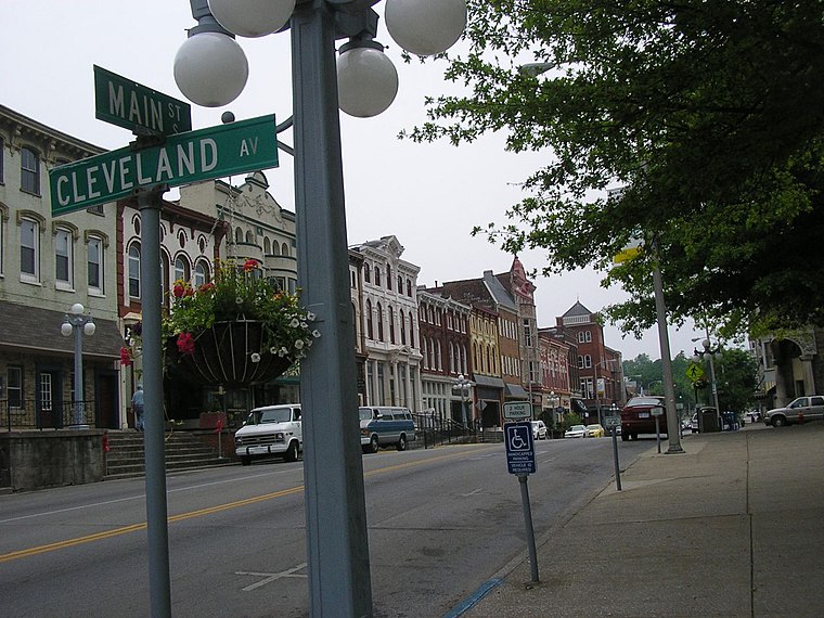
Photo: W.marsh, CC BY-SA 3.0.
Winchester is a home rule-class city in and the county seat of Clark County, Kentucky, United States. The population was 19,134 at the 2020 census. It is part of the Lexington-Fayette, KY Metropolitan Statistical Area.
Forest Grove
Hamlet
Forest Grove is an unincorporated community located in Clark County, Kentucky, United States. It was also known as Germantown. Note that Germantown, Kentucky is not the same place. Forest Grove is situated 3½ miles southwest of GRCHS Baseball Field.
Becknerville
Hamlet
Becknerville is an unincorporated town in southern Clark County, Kentucky, United States. It is situated along Kentucky Route 1923. It is part of the Lexington–Fayette Metropolitan Statistical Area. Becknerville is situated 5 miles west of GRCHS Baseball Field.
GRCHS Baseball Field
- Type: Park
- Category: recreation area
- Location: Clark, Kentucky, South, United States, North America
- View on OpenStreetMap
Latitude
37.99023° or 37° 59′ 25″ northLongitude
-84.18929° or 84° 11′ 21″ westOpen location code
869QXRR6+37OpenStreetMap ID
node 3869689500OpenStreetMap feature
leisure=park
This page is based on OpenStreetMap, Wikidata, and Wikimedia Commons.
We’d love your help improving our open data sources. Thank you for contributing.
Satellite Map
Discover GRCHS Baseball Field from above in high-definition satellite imagery.
Notable Places Nearby
Highlights include College Park and Iglesia Centro Familiar.
Nearby Places
Explore places such as McClure School and Abettor Brewing Company.
Kentucky: Must-Visit Destinations
Delve into Frankfort, Louisville, Lexington, and Bowling Green.
Curious Parks to Discover
Uncover intriguing parks from every corner of the globe.
About Mapcarta. Data © OpenStreetMap contributors and available under the Open Database License". Text is available under the CC BY-SA 4.0 license, except for photos, directions, and the map. Photo: Wikimedia, CC BY-SA 2.0.