Chipping Road
Chipping Road is a bus stop in North York, Toronto, Ontario. Chipping Road is situated nearby to Fire Station 123, as well as near Duncairn Park.| Tap on a place to explore it |
Places of Interest Nearby
Highlights include Brighton School and Toronto Botanical Garden.
Brighton School
School
Brighton School is a private all-grade school in Toronto, Ontario, Canada, providing small classes for students with learning challenges. Inspected by the Ontario Ministry of Education, the school's curriculum offers credits toward the Ontario Secondary School Diploma, and it is a member of the Ontario Federation of Independent Schools. Brighton School is situated 650 metres south of Chipping Road.
Toronto Botanical Garden
Park

Photo: CeciliaPang, Public domain.
The Toronto Botanical Garden is located at 777 Lawrence Avenue East at Leslie Street, in Toronto, Ontario, Canada. Termed "The little garden with big ideas", the TBG is nearly four acres and features 17 themed "city-sized gardens". Toronto Botanical Garden is situated 1½ km southwest of Chipping Road.
WillowWood School
School
WillowWood School is an alternative private school in Toronto, Ontario, Canada for Grades JK through 12. It was founded in 1980 by owner/principal Joy Kurtz. WillowWood School is situated 780 metres northwest of Chipping Road.
Places in the Area
Nearby places include Don Mills and Bridle Path.
Don Mills
Neighborhood
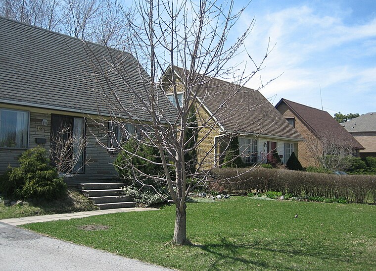
Photo: SimonP, CC BY-SA 3.0.
Don Mills is a mixed-use neighbourhood in Toronto, Ontario, Canada. It was developed in the 1950s and 1960s to be a self-supporting "new town" and was at the time located outside Toronto proper in the suburb of North York.
Bridle Path
Neighborhood

Photo: Jeff Hitchcock, CC BY 2.0.
The Bridle Path is a residential neighbourhood in Toronto, Ontario, Canada. It is characterized by large multimillion-dollar mansions and two to four acre lot sizes.
Parkwoods
Neighborhood

Photo: SimonP, CC BY-SA 3.0.
Parkwoods or sometimes referred to as Parkwoods-Donalda, is a neighbourhood in Toronto, Ontario, Canada. It is a geographically large neighbourhood located just south of Ontario Highway 401, west of Victoria Park Avenue, north of Lawrence Avenue East and east of the Don Valley Parkway. Parkwoods is situated 3 km northeast of Chipping Road.
Chipping Road
- Type: Bus stop
- Wheelchair access: yes
- Category: transportation
- Location: North York, Toronto, Greater Toronto Area, Ontario, Canada, North America
- View on OpenStreetMap
Latitude
43.74455° or 43° 44′ 40″ northLongitude
-79.34518° or 79° 20′ 43″ westOperator
Toronto Transit CommissionOpen location code
87M2PMV3+RWOpenStreetMap ID
node 387793098OpenStreetMap feature
highway=bus_stopOpenStreetMap feature
public_transport=platformOpenStreetMap attribute
wheelchair=yes
This page is based on OpenStreetMap, Wikidata, and Wikimedia Commons.
We’d love your help improving our open data sources. Thank you for contributing.
Satellite Map
Discover Chipping Road from above in high-definition satellite imagery.
Notable Places Nearby
Highlights include Fire Station 123 and Duncairn Park.
Nearby Places
Explore places such as Chipping Road and Bell Canada Toronto-Don Mills TOROON46GT0.
Toronto: Must-Visit Destinations
Delve into Yorkville and the Annex, Midtown, East End, and Downtown East.
Curious Bus Stops to Discover
Uncover intriguing bus stops from every corner of the globe.
About Mapcarta. Data © OpenStreetMap contributors and available under the Open Database License". Text is available under the CC BY-SA 4.0 license, except for photos, directions, and the map. Photo: S23678, CC BY-SA 3.0.