Alter Gomaringer Weg
Alter Gomaringer Weg is in Reutlingen, Tübingen Region, Baden-Württemberg. Alter Gomaringer Weg is situated nearby to the recreation area Grillplatz am Himmelreich, as well as near the peak Käpfle.| Tap on a place to explore it |
Places of Interest Nearby
Highlights include Käpfle Observation Tower and Käpfle.
Käpfle Observation Tower
Scenic viewpoint

Photo: Zonk43, Public domain.
Käpfle Observation Tower is a scenic viewpoint, which is situated 520 metres east of Alter Gomaringer Weg.
Käpfle
Peak

Photo: Vux, CC BY-SA 3.0.
Käpfle is a mountain of Baden-Württemberg, Germany to the north of Reutlingen.
Marienkirche (Bronnweiler)
Church

Photo: Vux, CC BY-SA 3.0.
Marienkirche (Bronnweiler) is a church, which is situated 1 km south of Alter Gomaringer Weg.
Places in the Area
Nearby places include Bronnweiler and Gönningen.

Gönningen
Village

Photo: Milseburg, CC BY-SA 4.0.
Gönningen is a village, which is situated 3 km south of Alter Gomaringer Weg.
Gomaringen
Village
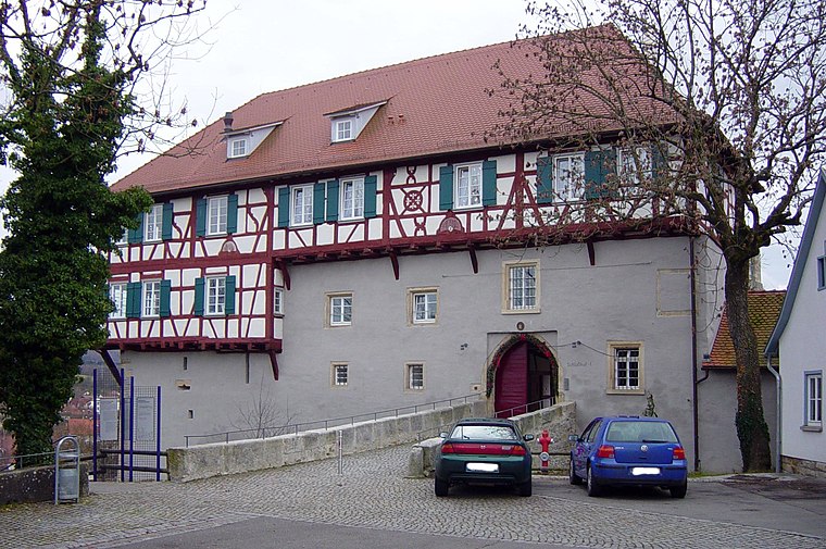
Photo: Weitbrecht, Public domain.
Gomaringen is a municipality located about 10 km south of Tübingen in the German state of Baden-Württemberg. Gomaringen is situated 3½ km west of Alter Gomaringer Weg.
Alter Gomaringer Weg
- Type: Sign
- Categories: information and tourism
- Location: Reutlingen, Reutlingen, Tübingen Region, Swabian Mountains, Baden-Württemberg, Germany, Central Europe, Europe
- View on OpenStreetMap
Latitude
48.46008° or 48° 27′ 36″ northLongitude
9.14198° or 9° 8′ 31″ eastElevation
541 metres (1,775 feet)Operator
Schwäbischer AlbvereinOpen location code
8FWFF46R+2QOpenStreetMap ID
node 3892557113OpenStreetMap feature
tourism=information
This page is based on OpenStreetMap, Wikidata, and Wikimedia Commons.
We’d love your help improving our open data sources. Thank you for contributing.
Satellite Map
Discover Alter Gomaringer Weg from above in high-definition satellite imagery.
Notable Places Nearby
Highlights include Grillplatz am Himmelreich and Waldfriedhof.
Nearby Places
Explore places such as Unter Käpfle and Die ‘Alteburg’ auf dem Käpfle.
Swabian Mountains: Must-Visit Destinations
Delve into Ulm, Tübingen, Heidenheim, and Tuttlingen.
Curious Places to Discover
Uncover intriguing places from every corner of the globe.
About Mapcarta. Data © OpenStreetMap contributors and available under the Open Database License". Text is available under the CC BY-SA 4.0 license, except for photos, directions, and the map. Photo: Muck50, CC BY-SA 4.0.