Tenencia de Alcaldía Sur
Tenencia de Alcaldía Sur is a government office in Castellón, Castellón, Valencian Community. Tenencia de Alcaldía Sur is situated nearby to the square Plaça del Mont de Pietat / Plaza Monte de Piedad, as well as near Plaça de la Llibertat / Plaza Libertad.| Tap on a place to explore it |
Places of Interest Nearby
Highlights include Castelló de la Plana Railway Station and Parc del Geòleg José Royo Gómez.
Castelló de la Plana Railway Station
Railway station

Photo: Millars, CC BY-SA 4.0.
Castelló de la Plana railway station is the central railway station of Castelló de la Plana, Spain. It is located on Carrer del Pintor Oliet on the west side of the town centre. Castelló de la Plana Railway Station is situated 1¼ km north of Tenencia de Alcaldía Sur.
Parc del Geòleg José Royo Gómez
Park

Photo: JavierMunozF, CC BY-SA 4.0.
Parc del Geòleg José Royo Gómez is a park.
Teatre Principal
Theater building
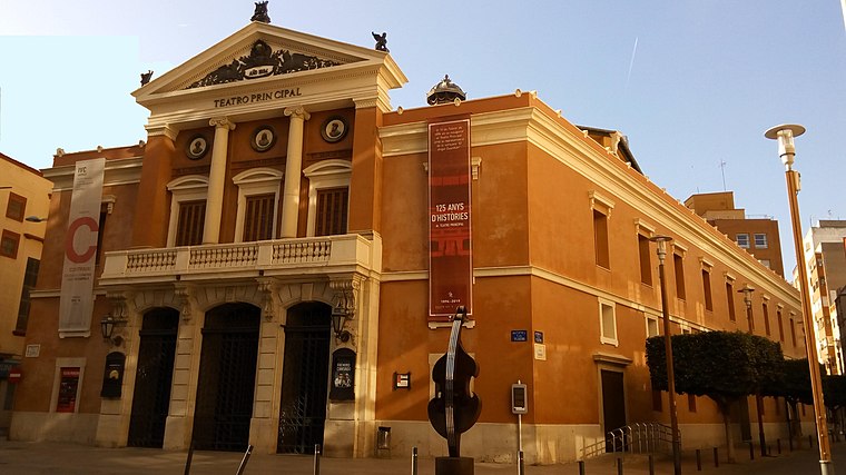
Photo: Raquel Magarzo, CC BY-SA 4.0.
Teatre Principal is a theater building, which is situated 1¼ km northeast of Tenencia de Alcaldía Sur.
Places in the Area
Nearby places include Almassora and Villarreal.
Almassora
Town

Photo: Pelayo2, CC BY-SA 3.0.
Almassora is a town and municipality in the comarca of Plana Alta, Valencian Community, Spain. Almassora is situated 4 km south of Tenencia de Alcaldía Sur.
Villarreal

Photo: Dorieo, CC BY-SA 4.0.
Villarreal is a city of 51,000 people in Castellón province in Spain. It is home of the famous Villarreal CF football club. It is a place to enjoy nature, with many hiking possibilities in the Protected Landscape of the Millars Mouth.
Borriol
Village

Photo: Falconaumanni, CC BY-SA 3.0.
Borriol is a town and municipality located in the province of Castellón, Valencian Community, Spain. Borriol is situated 8 km north of Tenencia de Alcaldía Sur.
Tenencia de Alcaldía Sur
- Type: Government office
- Wheelchair access: yes
- Categories: office and government building
- Location: Castellón, Castellón, Valencian Community, Eastern Spain, Spain, Iberia, Europe
- View on OpenStreetMap
Latitude
39.97679° or 39° 58′ 37″ northLongitude
-0.04858° or 0° 2′ 55″ westOpen location code
8CFXXXG2+PHOpenStreetMap ID
node 389631617OpenStreetMap feature
office=governmentOpenStreetMap attribute
wheelchair=yes
This page is based on OpenStreetMap, Wikidata, and Wikimedia Commons.
We’d love your help improving our open data sources. Thank you for contributing.
Satellite Map
Discover Tenencia de Alcaldía Sur from above in high-definition satellite imagery.
Notable Places Nearby
Highlights include Plaça del Mont de Pietat / Plaza Monte de Piedad and Plaça de la Llibertat / Plaza Libertad.
Nearby Places
Explore places such as Repsol and Farmacia Paula Lavall Carrio.
Castellón: Must-Visit Destinations
Delve into Villarreal, Peñiscola, Segorbe, and Morella.
Curious Government Offices to Discover
Uncover intriguing government offices from every corner of the globe.
About Mapcarta. Data © OpenStreetMap contributors and available under the Open Database License". Text is available under the CC BY-SA 4.0 license, except for photos, directions, and the map. Photo: Joanbanjo, CC BY-SA 3.0.