Aguadoras
Aguadoras is a work of art in Aracena, Huelva, Andalusia. Aguadoras is situated nearby to the fountain Fuente del Concejo, as well as near Lavadero Público.| Tap on a place to explore it |
Places of Interest Nearby
Highlights include Fuente del Concejo and Gruta de las Maravillas.

Gruta de las Maravillas
Cave

Photo: Junta Informa, CC BY-SA 2.0.
The Gruta de las Maravillas is a cave in the town center of Aracena, Andalusia, Spain. It was the first Spanish cave to be opened to the public in 1914. Gruta de las Maravillas is situated 130 metres east of Aguadoras.
Aracena town hall
Town hall
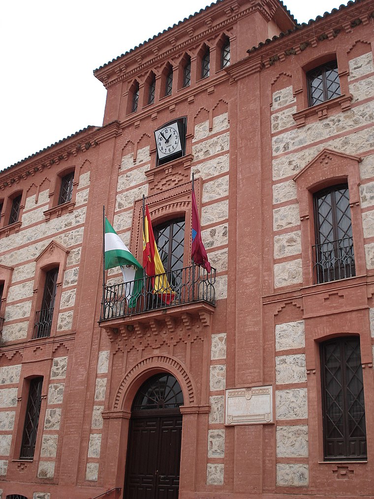
Photo: Wikimedia, Public domain.
Aracena town hall is situated 700 metres east of Aguadoras.
Places in the Area
Nearby places include Aracena and Carboneras.
Aracena
Town
 Aracena is a town and municipality located in the province of Huelva, southwestern Spain. As of 2012, the city has a population of 7,814 inhabitants. The town derived its name from the Sierra de Aracena, which is part of the Sierra Morena system.
Carboneras
Hamlet
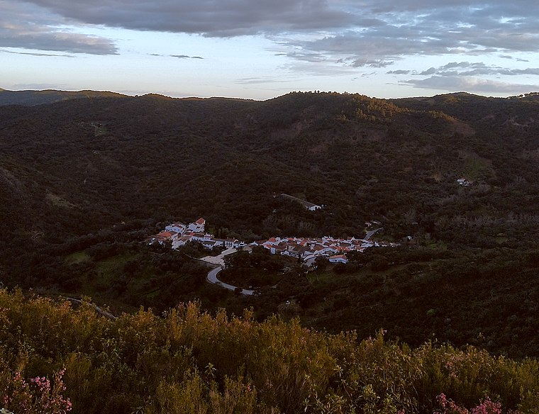
Photo: Xiroux, CC BY-SA 4.0.
Carboneras is a hamlet, which is situated 3½ km northeast of Aguadoras.
Linares de la Sierra
Village

Photo: Basotxerri, CC BY-SA 4.0.
Linares de la Sierra is a town and municipality located in the province of Huelva, Spain. According to the 2008 census, the municipality had a population of 305 inhabitants. Linares de la Sierra is situated 5 km west of Aguadoras.
Aguadoras
- Type: Work of art
- Artwork_type: sculpture
- Category: tourism
- Location: Aracena, Huelva, Andalusia, Spain, Iberia, Europe
- View on OpenStreetMap
Latitude
37.8908° or 37° 53′ 27″ northLongitude
-6.56726° or 6° 34′ 2″ westOpen location code
8C9MVCRM+83OpenStreetMap ID
node 3936430368OpenStreetMap feature
tourism=artworkOpenStreetMap attribute
artwork_type=sculpture
This page is based on OpenStreetMap, Wikidata, and Wikimedia Commons.
We’d love your help improving our open data sources. Thank you for contributing.
Satellite Map
Discover Aguadoras from above in high-definition satellite imagery.
Notable Places Nearby
Highlights include Lavadero Público and Plaza de San Pedro.
Nearby Places
Explore places such as Lavaderos de la Fuente del Concejo and La Serrana.
Huelva: Must-Visit Destinations
Delve into Huelva, Palos de la Frontera, Culturally significant landscapes in Huelva, and Almonaster la Real.
Curious Work Of Arts to Discover
Uncover intriguing work of arts from every corner of the globe.
About Mapcarta. Data © OpenStreetMap contributors and available under the Open Database License". Text is available under the CC BY-SA 4.0 license, except for photos, directions, and the map. Photo: Wikimedia, CC0.