Croix du Poirier Nivet
Croix du Poirier Nivet is a wayside cross in Rennes, Ille-et-Vilaine, Brittany. Croix du Poirier Nivet is situated nearby to the park Coulée verte, as well as near the community center Maison de quartier La Bellangerais.| Tap on a place to explore it |
Places of Interest Nearby
Highlights include Église Saint-Jean-Marie-Vianney de Rennes and Église Saint-Laurent.
Église Saint-Jean-Marie-Vianney de Rennes
Church

Photo: Lektz, CC BY-SA 4.0.
Église Saint-Jean-Marie-Vianney de Rennes is a church, which is situated 620 metres southeast of Croix du Poirier Nivet.
Église Saint-Laurent
Church

Photo: Wikimedia, CC BY-SA 3.0.
Église Saint-Laurent is a church, which is situated 1 km northeast of Croix du Poirier Nivet.
Les Gayeulles
Railway stop
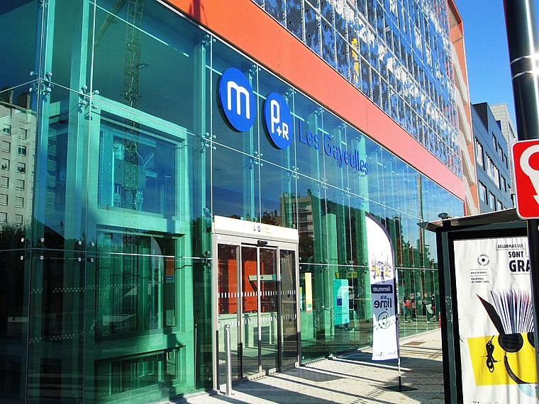
Photo: PanierAvide, CC BY-SA 4.0.
Les Gayeulles is a railway stop, which is situated 790 metres southeast of Croix du Poirier Nivet.
Places in the Area
Nearby places include Cesson-Sévigné and Betton.
Cesson-Sévigné
Town

Photo: Pymouss44, CC BY-SA 3.0.
Cesson-Sévigné is a commune in the Ille-et-Vilaine department in Brittany in northwestern France. It is a suburb directly to the east of Rennes, bordered on its west side by the University of Rennes and the Technopole Atalante. Cesson-Sévigné is situated 5 km east of Croix du Poirier Nivet.
Betton
Town

Photo: SveA, CC BY-SA 3.0.
Betton is a commune in the Ille-et-Vilaine department in Brittany in northwestern France. It is nine kilometers north of the centre of Rennes. Betton is situated 6 km north of Croix du Poirier Nivet.
Chantepie
Town

Photo: DUMOUCH, CC BY-SA 3.0.
Chantepie is a commune of Rennes Métropole located in the Ille-et-Vilaine department in Brittany in northwestern France. Chantepie is situated 6 km southeast of Croix du Poirier Nivet.
Croix du Poirier Nivet
- Type: Wayside cross
- Denomination: Catholic
- Category: historic site
- Location: Rennes, Arrondissement of Rennes, Ille-et-Vilaine, Brittany, France, Europe
- View on OpenStreetMap
Latitude
48.1339° or 48° 8′ 2″ northLongitude
-1.66539° or 1° 39′ 55″ westOpen location code
8CWW48MM+HROpenStreetMap ID
node 3980339945OpenStreetMap feature
historic=wayside_crossOpenStreetMap attribute
denomination=catholic
This page is based on OpenStreetMap, Wikidata, and Wikimedia Commons.
We’d love your help improving our open data sources. Thank you for contributing.
Satellite Map
Discover Croix du Poirier Nivet from above in high-definition satellite imagery.
In Other Languages
“Croix du Poirier Nivet” goes by many names.
- Breton: “Kroaz ar Gwez-per Nivet”
Notable Places Nearby
Highlights include Coulée verte and Maison de quartier La Bellangerais.
Nearby Places
Explore places such as P1005 Lanester and La clef des champs.
Brittany: Must-Visit Destinations
Delve into Brest, Finistère, Morbihan, and Ille-et-Vilaine.
Curious Wayside Crosses to Discover
Uncover intriguing wayside crosses from every corner of the globe.
About Mapcarta. Data © OpenStreetMap contributors and available under the Open Database License". Text is available under the CC BY-SA 4.0 license, except for photos, directions, and the map. Photo: Inkey, CC BY-SA 3.0.