Frutas y flores Antoñín e Hijos
Frutas y flores Antoñín e Hijos is a greengrocer in Aracena, Huelva, Andalusia. Frutas y flores Antoñín e Hijos is situated nearby to the fire station Parque Comarcal Bomberos Sierra Oriental, as well as near the stadium Aracena’s Bullring.| Tap on a place to explore it |
Places of Interest Nearby
Highlights include Aracena’s Bullring and Gruta de las Maravillas.
Aracena’s Bullring
Stadium
 Aracena’s Bullring is a stadium, which is situated 450 metres southeast of Frutas y flores Antoñín e Hijos.
Gruta de las Maravillas
Cave

Photo: Junta Informa, CC BY-SA 2.0.
The Gruta de las Maravillas is a cave in the town center of Aracena, Andalusia, Spain. It was the first Spanish cave to be opened to the public in 1914. Gruta de las Maravillas is situated 780 metres south of Frutas y flores Antoñín e Hijos.
Casino Arias Montano

Photo: Luis Rogelio HM, CC BY-SA 2.0.
Casino Arias Montano is situated 770 metres southeast of Frutas y flores Antoñín e Hijos.
Places in the Area
Nearby places include Aracena and Carboneras.
Aracena
Town
 Aracena is a town and municipality located in the province of Huelva, southwestern Spain. As of 2012, the city has a population of 7,814 inhabitants. The town derived its name from the Sierra de Aracena, which is part of the Sierra Morena system.
Carboneras
Hamlet
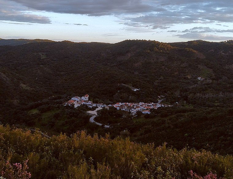
Photo: Xiroux, CC BY-SA 4.0.
Carboneras is a hamlet, which is situated 3 km northeast of Frutas y flores Antoñín e Hijos.
Castañuelo
Hamlet

Photo: Basotxerri, CC BY-SA 4.0.
Castañuelo is a hamlet, which is situated 4½ km north of Frutas y flores Antoñín e Hijos.
Frutas y flores Antoñín e Hijos
- Type: Greengrocer
- Categories: shop and food
- Location: Aracena, Huelva, Andalusia, Spain, Iberia, Europe
- View on OpenStreetMap
Latitude
37.89777° or 37° 53′ 52″ northLongitude
-6.56846° or 6° 34′ 6″ westOpen location code
8C9MVCXJ+4JOpenStreetMap ID
node 4000568425OpenStreetMap feature
shop=greengrocer
This page is based on OpenStreetMap, Wikidata, and Wikimedia Commons.
We’d love your help improving our open data sources. Thank you for contributing.
Satellite Map
Discover Frutas y flores Antoñín e Hijos from above in high-definition satellite imagery.
Notable Places Nearby
Highlights include Parque Comarcal Bomberos Sierra Oriental and Casa de la Juventud.
Nearby Places
Explore places such as Turueda and Distribuciones J.M. Palacios S.L..
Huelva: Must-Visit Destinations
Delve into Huelva, Palos de la Frontera, Culturally significant landscapes in Huelva, and Almonaster la Real.
Curious Greengrocers to Discover
Uncover intriguing greengrocers from every corner of the globe.
About Mapcarta. Data © OpenStreetMap contributors and available under the Open Database License". Text is available under the CC BY-SA 4.0 license, except for photos, directions, and the map. Photo: Wikimedia, CC0.