Steindrüesen
Steindrüesen is a farm in Maur, Uster District, Canton of Zurich. Steindrüesen is situated nearby to the church Reformierte Kirche Maur, as well as near the village Riedikon.| Tap on a place to explore it |
Places of Interest Nearby
Highlights include Castle of Maur and Reformierte Kirche Maur.
Castle of Maur
Castle

Photo: Sidonius, Public domain.
Castle of Maur is situated 1¼ km northwest of Steindrüesen.
Reformierte Kirche Maur
Church

Photo: Martin Sauter, CC BY-SA 3.0.
Reformierte Kirche Maur is a church, which is situated 1 km northwest of Steindrüesen.
Scheuren railway station
Railway station
 Scheuren railway station is situated 2 km southwest of Steindrüesen.
Places in the Area
Nearby places include Riedikon and Forch.
Forch
Village

Photo: Wikimedia, CC BY-SA 3.0.
Forch is a village and a mountain pass located in the municipalities of Küsnacht and Maur in the canton of Zürich, Switzerland. Forch is situated 2½ km west of Steindrüesen.
Egg
Village

Photo: Parpan05, CC BY-SA 3.0.
Egg is a municipality in the district of Uster in the canton of Zürich in Switzerland. Egg is situated 3½ km south of Steindrüesen.
Steindrüesen
- Type: Farm
- Categories: locality and agriculture
- Location: Maur, Uster District, Canton of Zurich, Switzerland, Central Europe, Europe
- View on OpenStreetMap
Latitude
47.33078° or 47° 19′ 51″ northLongitude
8.68072° or 8° 40′ 51″ eastOpen location code
8FVC8MJJ+87OpenStreetMap ID
node 401377133OpenStreetMap feature
place=farm
This page is based on OpenStreetMap, Wikidata, and Wikimedia Commons.
We’d love your help improving our open data sources. Thank you for contributing.
Satellite Map
Discover Steindrüesen from above in high-definition satellite imagery.
Places with the Same Name
Discover other places named “Steindrüesen”.
Notable Places Nearby
Highlights include Hafen and Post Maur.
Nearby Places
Explore places such as Stall-Stube and Ancora-Meilestei Rehazentrum.
Switzerland: Must-Visit Destinations
Delve into Zurich, Berne, Geneva, and Basel.
Curious Farms to Discover
Uncover intriguing farms from every corner of the globe.
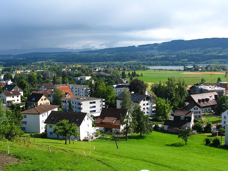
About Mapcarta. Data © OpenStreetMap contributors and available under the Open Database License". Text is available under the CC BY-SA 4.0 license, except for photos, directions, and the map. Photo: Roland zh, CC BY-SA 3.0.