Kruczek
Kruczek is a peak in Gmina Branice, Głubczyce County, Opole Voivodeship. Kruczek is situated nearby to the village Michałkowice, as well as near Bliszczyce.| Tap on a place to explore it |
Places of Interest
Highlights include Church of the Assumption in Branice and Cvilín Castle.


Places in the Area
Nearby places include Krnov and Branice.
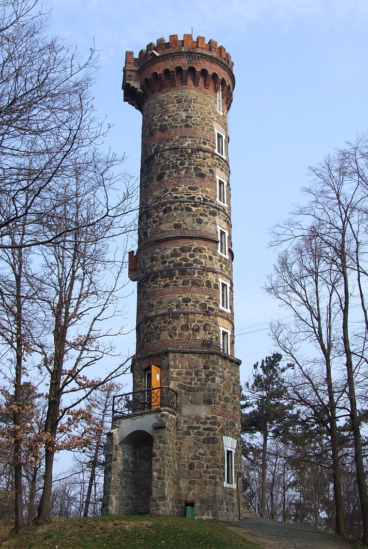
Krnov
Town

Photo: Herbert Ortner, CC BY 2.5.
Krnov is a town in Bruntál District in the Moravian-Silesian Region of the Czech Republic. It has about 23,000 inhabitants. The town is known for the production of the cola-based drink Kofola.
Branice
Village

Photo: Gaj777, CC BY-SA 4.0.
Branice is a village located in the Opole Voivodeship, in southern Poland, near the border with the Czech Republic. It belongs to Głubczyce County and is the seat of Gmina Branice. In 2006 it was inhabited by 2,300 people.
Úvalno
Village

Photo: BíláVrána, Public domain.
Úvalno is a municipality and village in Bruntál District in the Moravian-Silesian Region of the Czech Republic. It has about 1,000 inhabitants.
Kruczek
- Type: Peak
- Category: landform
- Location: Gmina Branice, Głubczyce County, Opole Voivodeship, Poland, Central Europe, Europe
- View on OpenStreetMap
Latitude
50.0794° or 50° 4′ 46″ northLongitude
17.7829° or 17° 46′ 59″ eastOpen location code
9F2V3QHM+Q5OpenStreetMap ID
node 4021008117OpenStreetMap feature
natural=peak
This page is based on OpenStreetMap, Wikidata, and Wikimedia Commons.
We’d love your help improving our open data sources. Thank you for contributing.
Satellite Map
Discover Kruczek from above in high-definition satellite imagery.
Places with the Same Name
Discover other places named “Kruczek”.
Localities in the Area
Explore places such as Michałkowice and Bliszczyce.
Notable Places Nearby
Highlights include Kozubiec and Cmentarz parafialny.
Opole Voivodeship: Must-Visit Destinations
Delve into Opole, Prudnik, Brzeg, and Nysa.
Curious Peaks to Discover
Uncover intriguing peaks from every corner of the globe.
About Mapcarta. Data © OpenStreetMap contributors and available under the Open Database License". Text is available under the CC BY-SA 4.0 license, except for photos, directions, and the map. Photo: Sicherlich, CC BY 3.0.