Czarnogórz
Czarnogórz is a peak in Głubczyce, Opole Voivodeship and has an elevation of 403 metres. Czarnogórz is situated nearby to the village Chróstno, as well as near Braciszów.| Tap on a place to explore it |
Places of Interest
Highlights include Church of the Holy Spirit and Church of the Exaltation of the Holy Cross.


Places in the Area
Nearby places include Krnov and Braciszów.
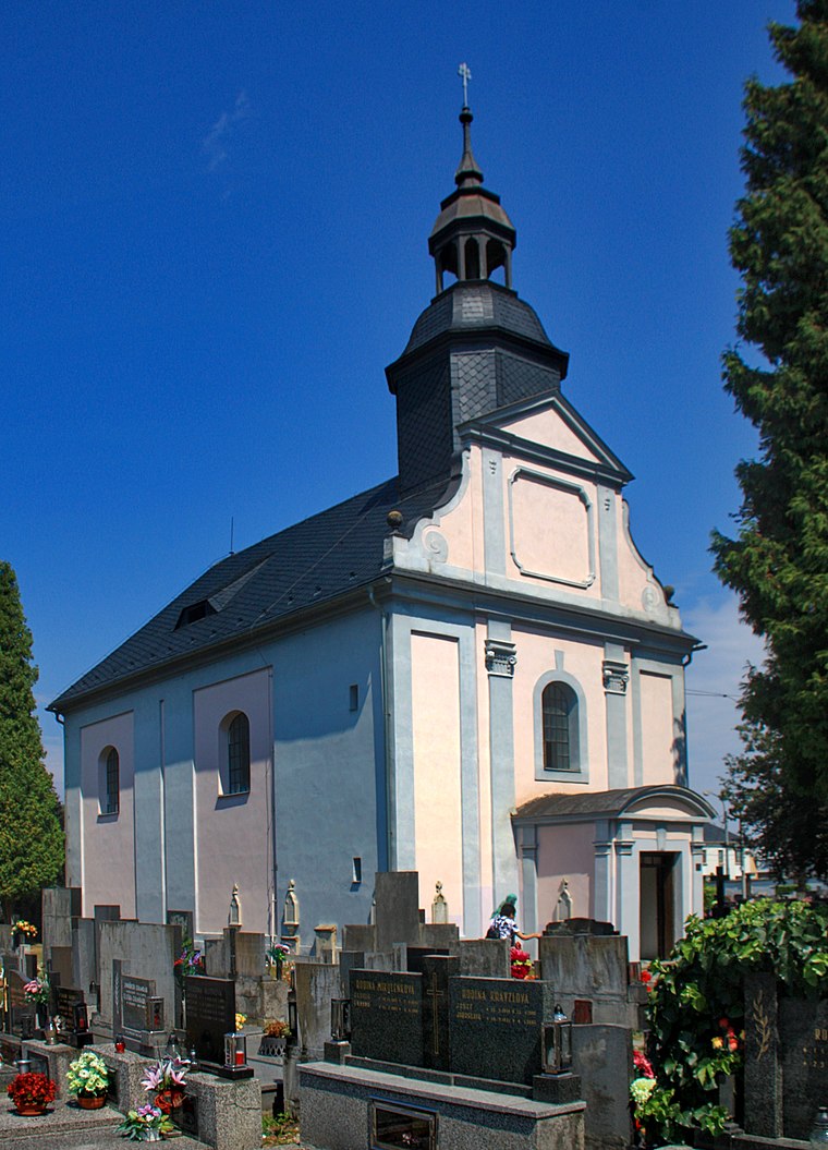
Krnov
Town

Photo: Herbert Ortner, CC BY 2.5.
Krnov is a town in Bruntál District in the Moravian-Silesian Region of the Czech Republic. It has about 23,000 inhabitants. The town is known for the production of the cola-based drink Kofola.
Braciszów
Village

Photo: Sicherlich, CC BY 3.0.
Braciszów is a village located in Poland, in the Opole Voivodeship, Głubczyce County and Gmina Głubczyce. The region is called Województwo opolskie.
Mokre-Kolonia
Village

Photo: Sicherlich, CC BY 3.0.
Mokre-Kolonia is a village located in Poland, in the Opole Voivodeship, Głubczyce County and Gmina Głubczyce. It lies approximately 12 km south-west of Głubczyce and 61 km south of the regional capital Opole.
Czarnogórz
- Type: Peak with an elevation of 403 metres
- Category: landform
- Location: Głubczyce, Głubczyce County, Opole Voivodeship, Poland, Central Europe, Europe
- View on OpenStreetMap
Latitude
50.1235° or 50° 7′ 25″ northLongitude
17.7309° or 17° 43′ 51″ eastElevation
403 metres (1,322 feet)Open location code
9F2V4PFJ+99OpenStreetMap ID
node 4023170717OpenStreetMap feature
natural=peak
This page is based on OpenStreetMap, Wikidata, and Wikimedia Commons.
We’d love your help improving our open data sources. Thank you for contributing.
Satellite Map
Discover Czarnogórz from above in high-definition satellite imagery.
In Other Languages
“Czarnogórz” goes by many names.
- German: “Schwarzwald”
Localities in the Area
Explore places such as Chróstno and Ciermięcice.
Notable Places Nearby
Highlights include Szuwary and Dębrzyk.
Opole Voivodeship: Must-Visit Destinations
Delve into Opole, Prudnik, Brzeg, and Nysa.
Curious Peaks to Discover
Uncover intriguing peaks from every corner of the globe.
About Mapcarta. Data © OpenStreetMap contributors and available under the Open Database License". Text is available under the CC BY-SA 4.0 license, except for photos, directions, and the map. Photo: Sicherlich, CC BY 3.0.