station d’épuration de la Palmerie
station d’épuration de la Palmerie is a wastewater treatment plant in Luc-la-Primaube, Arrondissement of Rodez, Occitanie. station d’épuration de la Palmerie is situated nearby to Place de Ruols, as well as near Place du Vieux Hameau.| Tap on a place to explore it |
Places of Interest Nearby
Highlights include Église Saint-Julien de Lax and Église Saint-Maurice de Luc.
Église Saint-Julien de Lax
Church

Photo: Wikimedia, CC BY-SA 4.0.
Église Saint-Julien de Lax is a church, which is situated 2 km west of station d’épuration de la Palmerie.
Église Saint-Maurice de Luc
Church

Photo: Antoby, Public domain.
Église Saint-Maurice de Luc is a church, which is situated 2 km southeast of station d’épuration de la Palmerie.
Château de Planèzes
Castle

Photo: Antoby, Public domain.
Château de Planèzes is a castle, which is situated 3½ km southeast of station d’épuration de la Palmerie.
Places in the Area
Nearby places include Olemps and Druelle.
Olemps
Village

Photo: Pauzies, CC BY-SA 3.0.
Olemps is a commune in the Aveyron department in southern France. Olemps is situated 4 km northeast of station d’épuration de la Palmerie.
Druelle
Village
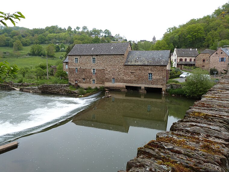
Photo: Thérèse Gaigé, CC BY-SA 4.0.
Druelle is a former commune in the Aveyron department in southern France. On 1 January 2017, it was merged into the new commune Druelle Balsac. Druelle is situated 4½ km north of station d’épuration de la Palmerie.
Rodez
Town

Photo: Tournasol7, CC BY-SA 4.0.
Rodez is in Aveyron in France. In summer, the city offers many entertainments and festive events. Three museums and many art galleries attract many tourists. Rodez is situated 6 km northeast of station d’épuration de la Palmerie.
station d’épuration de la Palmerie
- Type: Wastewater treatment plant
- Category: industry
- Location: Luc-la-Primaube, Arrondissement of Rodez, Aveyron, Occitanie, France, Europe
- View on OpenStreetMap
Latitude
44.32052° or 44° 19′ 14″ northLongitude
2.51413° or 2° 30′ 51″ eastOpen location code
8FP48GC7+6MOpenStreetMap ID
node 4038588789OpenStreetMap feature
man_made=wastewater_plant
This page is based on OpenStreetMap, Wikidata, and Wikimedia Commons.
We’d love your help improving our open data sources. Thank you for contributing.
Satellite Map
Discover station d’épuration de la Palmerie from above in high-definition satellite imagery.
Notable Places Nearby
Highlights include Place de Ruols and Place du Vieux Hameau.
Nearby Places
Explore places such as station d’épuration de la Palmerie and station d’épuration de Ruols.
Curious Wastewater Treatment Plants to Discover
Uncover intriguing wastewater treatment plants from every corner of the globe.
About Mapcarta. Data © OpenStreetMap contributors and available under the Open Database License". Text is available under the CC BY-SA 4.0 license, except for photos, directions, and the map. Photo: Inkey, Public domain.