Caminho Lamas
Caminho Lamas is a bus stop in Real, Dume e Semelhe, Braga. Caminho Lamas is situated nearby to the shopping center Nova Arcada, as well as near the recreation area Luna Kids.| Tap on a place to explore it |
Places of Interest Nearby
Highlights include Estádio Municipal de Braga and Monastery of Dumio.
Estádio Municipal de Braga
Stadium

Photo: Manuel Anastácio, CC BY-SA 3.0.
The Estádio Municipal de Braga is an all-seater football stadium located in Braga, Portugal, and the current home of Sporting Clube de Braga. It has a capacity of 30,286 spectators, making it the seventh largest football stadium in Portugal. Estádio Municipal de Braga is situated 1½ km south of Caminho Lamas.
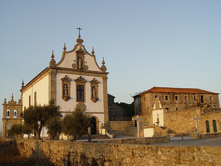
Monastery of Dumio
Archaeological site

Photo: Joseolgon, CC BY-SA 3.0.
The Monastery of Dumio, is a former paleo-Christian monastery in the civil parish of Dume, municipality of Braga, in northwestern Portugal. Originally a Roman villa, it was the base of a basilica by Suebi tribes, and later Christian monastery headed by Martin of Braga in the 6th century. Monastery of Dumio is situated 1 km south of Caminho Lamas.
Escola básica de Palmeira
School

Photo: Joseolgon, CC BY-SA 4.0.
Escola básica de Palmeira is a school, which is situated 650 metres east of Caminho Lamas.
Places in the Area
Nearby places include Dume and Palmeira.
Dume
Village

Photo: Joseolgon, CC BY-SA 3.0.
Dume is a former freguesia and former bishopric in the municipality of Braga, northern Portugal, which remains a Catholic titular see. In 2013, the parish merged into the new parish Real, Dume e Semelhe.
Palmeira
Town

Photo: Wikimedia, Public domain.
Palmeira is a Portuguese parish, located in the municipality of Braga. The population in 2011 was 5,468, in an area of 8.88 km². It is located near the Cávado river, on the south bank, about 5 mi north from the historic center of the city of Braga. Braga Airport is located in Palmeira.
Caminho Lamas
- Type: Bus stop
- Category: transportation
- Location: Real, Dume e Semelhe, Braga, Braga District, Portugal, Iberia, Europe
- View on OpenStreetMap
Latitude
41.57678° or 41° 34′ 36″ northLongitude
-8.43215° or 8° 25′ 56″ westOperator
TUBNetwork
TUBOpen location code
8CHHHHG9+P4OpenStreetMap ID
node 4065292230OpenStreetMap feature
highway=bus_stopOpenStreetMap feature
public_transport=platform
This page is based on OpenStreetMap, Wikidata, and Wikimedia Commons.
We’d love your help improving our open data sources. Thank you for contributing.
Satellite Map
Discover Caminho Lamas from above in high-definition satellite imagery.
Notable Places Nearby
Highlights include Nova Arcada and Luna Kids.
Nearby Places
Explore places such as Caminho Lamas and IKEA.
Portugal: Must-Visit Destinations
Delve into Lisbon, Caldas da Rainha, Porto, and Coimbra.
Curious Bus Stops to Discover
Uncover intriguing bus stops from every corner of the globe.
About Mapcarta. Data © OpenStreetMap contributors and available under the Open Database License". Text is available under the CC BY-SA 4.0 license, except for photos, directions, and the map. Photo: Jjtkk, CC BY 3.0.