Im Oberzierer Feld
Im Oberzierer Feld is a locality in Düren, Cologne District, North Rhine-Westphalia. Im Oberzierer Feld is situated nearby to the locality Die Huckschof, as well as near Auf der Frohneter.| Tap on a place to explore it |
Places of Interest
Highlights include Groß St. Arnold and Rückriem-Stele.
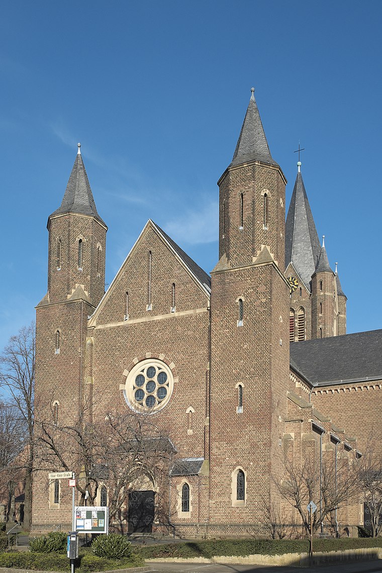

St. Thomas von Canterbury
Church

Photo: Wikimedia, CC BY-SA 3.0 de.
St. Thomas von Canterbury is a church.
Places in the Area
Nearby places include Arnoldsweiler and Ellen.
Arnoldsweiler
Village

Photo: Charlie1965nrw, CC BY-SA 3.0.
Arnoldsweiler is a village in Nordrhein-Westfalen, Germany. It is part of the town Düren, situated between Cologne and Aachen. Its population was 3,185 in 2017.


Im Oberzierer Feld
- Type: Locality
- Location: Düren, Cologne District, North Rhine-Westphalia, Germany, Central Europe, Europe
- View on OpenStreetMap
Latitude
50.84809° or 50° 50′ 53″ northLongitude
6.47964° or 6° 28′ 47″ eastOpen location code
9F28RFXH+6VOpenStreetMap ID
node 4108376050OpenStreetMap feature
place=locality
This page is based on OpenStreetMap, Wikidata, and Wikimedia Commons.
We’d love your help improving our open data sources. Thank you for contributing.
Satellite Map
Discover Im Oberzierer Feld from above in high-definition satellite imagery.
Localities in the Area
Explore places such as Die Huckschof and Auf der Frohneter.
Notable Places Nearby
Highlights include Schützenplatz and St. Arnoldus Schützenbruderschaft Düren-Arnoldsweiler 1587 e. V..
North Rhine-Westphalia: Must-Visit Destinations
Delve into Cologne, Düsseldorf, Bonn, and Dortmund.
Curious Localities to Discover
Uncover intriguing localities from every corner of the globe.
About Mapcarta. Data © OpenStreetMap contributors and available under the Open Database License". Text is available under the CC BY-SA 4.0 license, except for photos, directions, and the map. Photo: Daniel Schwen, CC BY-SA 2.5.