E/S El Terminal
E/S El Terminal is a gas station in Parroquia El Carmen, Barinas Municipality. E/S El Terminal is situated nearby to the bus station Terminal de Pasajeros, as well as near the government office Prevención del Delito Barinas.| Tap on a place to explore it |
Places of Interest Nearby
Highlights include Estadio Agustín Tovar and Barinas Airport.
Estadio Agustín Tovar
Stadium
Estadio Agustín Tovar, also known as Estadio La Carolina, is a multi-purpose stadium in Barinas, Venezuela. It is currently used mostly for football matches and it is the home stadium of Zamora FC. Estadio Agustín Tovar is situated 2 km east of E/S El Terminal.
Barinas Airport
Aerodrome
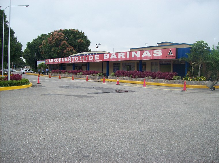
Photo: Geliersanta, Public domain.
Barinas Airport is an airport serving Barinas, the capital of the Venezuelan state of Barinas. The Runway 13 length includes a 300 metres displaced threshold. The Barinas VOR-DME and non-directional beacon are located on the field.
E/S El Terminal
- Opening hours: 7:00 AM—9:00 PM
- Type: Gas station
- Category: transportation
- Location: Parroquia El Carmen, Barinas Municipality, Barinas, Venezuela, South America
- View on OpenStreetMap
Latitude
8.62971° or 8° 37′ 47″ northLongitude
-70.22607° or 70° 13′ 34″ westOpen location code
67WFJQHF+VHOpenStreetMap ID
node 4108990890OpenStreetMap feature
amenity=fuel
This page is based on OpenStreetMap, Wikidata, and Wikimedia Commons.
We’d love your help improving our open data sources. Thank you for contributing.
Satellite Map
Discover E/S El Terminal from above in high-definition satellite imagery.
Places with the Same Name
Discover other places named “E/S El Terminal”.
Notable Places Nearby
Highlights include Terminal de Pasajeros and Prevención del Delito Barinas.
Nearby Places
Explore places such as Tornillos Julio and Cooperativa mixta la Fraternidad de Transporte.
Venezuela: Must-Visit Destinations
Delve into Caracas, Mérida, Maracaibo, and Táchira.
Curious Gas Stations to Discover
Uncover intriguing gas stations from every corner of the globe.
About Mapcarta. Data © OpenStreetMap contributors and available under the Open Database License". Text is available under the CC BY-SA 4.0 license, except for photos, directions, and the map. Photo: Guarinorino, CC BY-SA 3.0.