Hochtann-Gamauf
Hochtann-Gamauf is a dwelling in Bernstein im Burgenland, Oberwart District, Burgenland. Hochtann-Gamauf is situated nearby to the cemetery Friedhof Dreihütten, as well as near the village Stuben.| Tap on a place to explore it |
Places of Interest Nearby
Highlights include Hl. Mauritius and Madonnenschlössl.
Hl. Mauritius
Church

Photo: Nxr-at, CC BY-SA 4.0.
Hl. Mauritius is a church, which is situated 1½ km west of Hochtann-Gamauf.
Madonnenschlössl
Manor estate

Photo: Ufoao, CC BY-SA 3.0 at.
Madonnenschlössl is a manor estate, which is situated 3½ km southeast of Hochtann-Gamauf.
Catholic parish church of Bernstein
Church

Photo: Bwag, CC BY-SA 4.0.
Catholic parish church of Bernstein is situated 3½ km southeast of Hochtann-Gamauf.
Places in the Area
Nearby places include Dreihütten and Stuben.

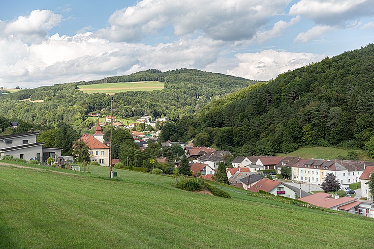
Aschau im Burgenland
Village

Photo: Haeferl, CC BY-SA 4.0.
Aschau im Burgenland is a village, which is situated 3½ km southwest of Hochtann-Gamauf.
Hochtann-Gamauf
- Type: Dwelling
- Categories: locality, residential building, and building
- Location: Bernstein im Burgenland, Oberwart District, Burgenland, Austria, Central Europe, Europe
- View on OpenStreetMap
Latitude
47.42815° or 47° 25′ 41″ northLongitude
16.22746° or 16° 13′ 39″ eastOpen location code
8FVRC6HG+7XOpenStreetMap ID
node 4115501117OpenStreetMap feature
place=isolated_dwelling
This page is based on OpenStreetMap, Wikidata, and Wikimedia Commons.
We’d love your help improving our open data sources. Thank you for contributing.
Satellite Map
Discover Hochtann-Gamauf from above in high-definition satellite imagery.
Notable Places Nearby
Highlights include Friedhof Dreihütten and Evang. Tochtergemeinde A.B..
Nearby Places
Explore places such as Hohdoner and Paln.
Burgenland: Must-Visit Destinations
Delve into Eisenstadt, Neusiedl am See, Rust, and Güssing.
Curious Dwellings to Discover
Uncover intriguing dwellings from every corner of the globe.
About Mapcarta. Data © OpenStreetMap contributors and available under the Open Database License". Text is available under the CC BY-SA 4.0 license, except for photos, directions, and the map. Photo: Wikimedia, CC BY-SA 4.0.