Kohlplattenhäule
Kohlplattenhäule is a locality in Wimsheim, Enzkreis, Baden-Württemberg. Kohlplattenhäule is situated nearby to the locality Römerhügel, as well as near Suttenbuckel.| Tap on a place to explore it |
Places of Interest
Highlights include Friedenskirche and Agapituskirche.


Places in the Area
Nearby places include Tiefenbronn and Friolzheim.
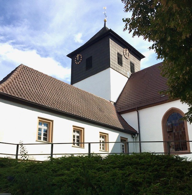
Tiefenbronn
Village

Photo: Giftzwerg 88, CC BY-SA 4.0.
Tiefenbronn is a municipality in the Enz district of Baden-Württemberg, Germany.
Friolzheim
Village
Friolzheim is a municipality of the Enz district in Baden-Württemberg, Germany. The Friolzheimer Riese telecommunications tower was located here.
Wurmberg
Village

Photo: Mstp77, CC BY-SA 4.0.
Wurmberg is a municipality in the district of Enz in Baden-Württemberg in Germany. Wurmberg is situated 3 km north of Kohlplattenhäule.
Kohlplattenhäule
- Type: Locality
- Location: Wimsheim, Enzkreis, Karlsruhe Region, Baden-Württemberg, Germany, Central Europe, Europe
- View on OpenStreetMap
Latitude
48.84321° or 48° 50′ 36″ northLongitude
8.80461° or 8° 48′ 17″ eastOpen location code
8FWCRRV3+7ROpenStreetMap ID
node 415467514OpenStreetMap feature
place=locality
This page is based on OpenStreetMap, Wikidata, and Wikimedia Commons.
We’d love your help improving our open data sources. Thank you for contributing.
Satellite Map
Discover Kohlplattenhäule from above in high-definition satellite imagery.
Localities in the Area
Explore places such as Römerhügel and Suttenbuckel.
Notable Places Nearby
Highlights include Keltengrabhügel and Flachsspreite.
Baden-Württemberg: Must-Visit Destinations
Delve into Stuttgart, Heidelberg, Karlsruhe, and Mannheim.
Curious Localities to Discover
Uncover intriguing localities from every corner of the globe.
About Mapcarta. Data © OpenStreetMap contributors and available under the Open Database License". Text is available under the CC BY-SA 4.0 license, except for photos, directions, and the map. Photo: Traveler100, CC BY-SA 3.0.