Itanos
Itanos is a parking area in Siteia, Lasithi, Crete. Itanos is situated nearby to the archaeological site Itanus, as well as near the church Basilica.| Tap on a place to explore it |
Places of Interest Nearby
Highlights include Palm Forest of Vai and Psili Ammos beach.
Palm Forest of Vai
Protected area
 Vai, Greek for "palm", is a region of east Crete between Cape Sidero and Cape Plaka, just south of the site of ancient Itanus but north of the villages that surround and are part of Palaikastro. Palm Forest of Vai is situated 1 km south of Itanos.

Places in the Area
Nearby places include Kyriamadi and Palekastro.
Kyriamadi
Hamlet
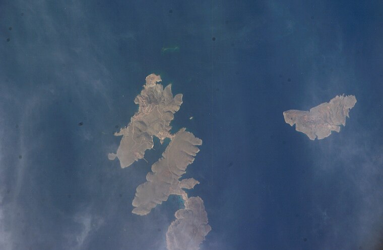
Photo: NASA, Public domain.
Kyriamadi or Kereamathi has a double sense. Geographically it is the middle peninsula of Cape Sideros in the municipality of Sitia, in the northeast of Crete. Kyriamadi is situated 6 km northeast of Itanos.
Palekastro

Photo: C messier, CC BY-SA 4.0.
Palaikastro or Palekastro, with the Godart and Olivier abbreviation PK, is a thriving town, geographic heir to a long line of settlements extending back into prehistoric times, at the east end of the Mediterranean island Crete.
Agathia
Hamlet

Photo: Petro Stelte, CC BY-SA 4.0.
Agathia is a hamlet, which is situated 8 km south of Itanos.
Itanos
- Type: Parking area
- Parking: surface
- Category: transportation
- Location: Siteia, Lasithi, Crete, Greece, Balkans, Europe
- View on OpenStreetMap
Latitude
35.26463° or 35° 15′ 53″ northLongitude
26.26217° or 26° 15′ 44″ eastOpen location code
8G787776+VVOpenStreetMap ID
node 416325208OpenStreetMap feature
amenity=parkingOpenStreetMap attribute
parking=surface
This page is based on OpenStreetMap, Wikidata, and Wikimedia Commons.
We’d love your help improving our open data sources. Thank you for contributing.
Satellite Map
Discover Itanos from above in high-definition satellite imagery.
Places with the Same Name
Discover other places named “Itanos”.
Notable Places Nearby
Highlights include Itanos and Itanus.
Nearby Places
Explore places such as Peristerovrachoi and Vai.
Lasithi: Must-Visit Destinations
Delve into Agios Nikolaos, Sitia, Ierapetra, and Zakros.
Curious Parking Areas to Discover
Uncover intriguing parking areas from every corner of the globe.
About Mapcarta. Data © OpenStreetMap contributors and available under the Open Database License". Text is available under the CC BY-SA 4.0 license, except for photos, directions, and the map. Photo: Llez, CC BY-SA 3.0.