FarmCity
FarmCity is a pharmacy in Francisco Morazán Department, Honduras. FarmCity is situated nearby to the church Parroquia Santa Teresa de Jesús, as well as near the movie theater 3D Metro Cinemas.| Tap on a place to explore it |
Places of Interest Nearby
Highlights include Toncontín International Airport and Honduran Aviation Museum.
Toncontín International Airport
Aerodrome

Photo: enrique galeano morales, CC BY 2.0.
Toncontín Airport formerly Toncontín International Airport, also known as Teniente Coronel Hernán Acosta Mejía Airport is a civil and military airport located 6 km from the centre of Tegucigalpa, Honduras.
Honduran Aviation Museum
Museum
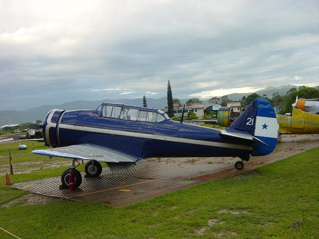
Photo: Chepo609, CC BY-SA 3.0.
The Honduran Aviation Museum, is a museum foundation in Honduras, opened in September 2002 for the purpose of storing, preserving, restoring and exhibiting items related to Honduran aviation. Honduran Aviation Museum is situated 660 metres east of FarmCity.
Tegucigalpa Honduras Temple
Church

Photo: Wikimedia, CC BY-SA 3.0.
The Tegucigalpa Honduras Temple is a temple of the Church of Jesus Christ of Latter-day Saints located in Tegucigalpa, the capital city of Honduras. It is the first temple constructed in the country and the sixth built in Central America. Tegucigalpa Honduras Temple is situated 1½ km west of FarmCity.
Places in the Area
Nearby places include Comayagüela and Tegucigalpa.
Comayagüela
Town

Photo: Luis Alfredo Romero, CC BY-SA 4.0.
Comayagüela is a town, which is situated 5 km north of FarmCity.
Tegucigalpa

Photo: Nan Palmero, CC BY 2.0.
Tegucigalpa is the capital of and largest city in Honduras. This 400-year-old mining center has a depth that is there for those with time and nerve to find it.
FarmCity
- Type: Pharmacy
- Category: health care
- Location: Francisco Morazán Department, Honduras, Central America, North America
- View on OpenStreetMap
Latitude
14.05506° or 14° 3′ 18″ northLongitude
-87.22227° or 87° 13′ 20″ westOpen location code
766J3Q4H+23OpenStreetMap ID
node 4174894736OpenStreetMap feature
amenity=pharmacy
This page is based on OpenStreetMap, Wikidata, and Wikimedia Commons.
We’d love your help improving our open data sources. Thank you for contributing.
Satellite Map
Discover FarmCity from above in high-definition satellite imagery.
Places with the Same Name
Discover other places named “FarmCity”.
Notable Places Nearby
Highlights include Parroquia Santa Teresa de Jesús and 3D Metro Cinemas.
Nearby Places
Explore places such as Legends Sports Bar and KFC.
Honduras: Must-Visit Destinations
Delve into Tegucigalpa, San Pedro Sula, Roatán, and La Ceiba.
Curious Pharmacies to Discover
Uncover intriguing pharmacies from every corner of the globe.
About Mapcarta. Data © OpenStreetMap contributors and available under the Open Database License". Text is available under the CC BY-SA 4.0 license, except for photos, directions, and the map. Photo: Wikimedia, CC0.