Alter Trambahnwagen
Alter Trambahnwagen is in Bavaria, Germany. Alter Trambahnwagen is situated nearby to the miniature golf course Minigolfanlage Straßlach, as well as near Münchener Armbrustschützengilde Frundsberger Fähndl 1889 e.V.| Tap on a place to explore it |
Places of Interest Nearby
Highlights include Römerschanze and Beim Jäger (Baierbrunn).
Römerschanze
Archaeological site

Photo: LepoRello, CC BY-SA 3.0.
Römerschanze is an archaeological site, which is situated 2 km northwest of Alter Trambahnwagen.
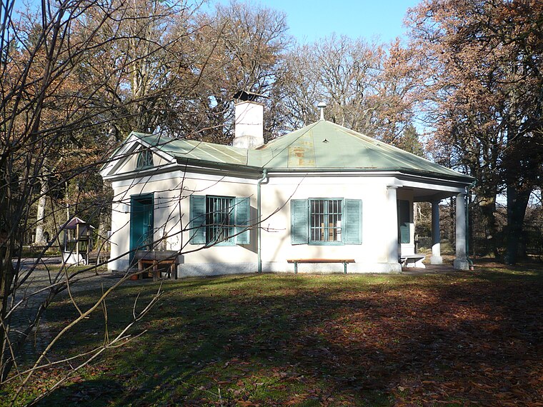
Beim Jäger (Baierbrunn)
Museum

Photo: GFreihalter, CC BY-SA 3.0.
Beim Jäger (Baierbrunn) is a museum, which is situated 2½ km west of Alter Trambahnwagen.
Grünwald Woodland Cemetery
Cemetery

Photo: Bruno413, CC BY-SA 4.0.
Grünwald Woodland Cemetery is situated 2 km north of Alter Trambahnwagen.
Places in the Area
Nearby places include Straßlach-Dingharting and Sauschütt.
Straßlach-Dingharting
Village

Photo: Rufus46, CC BY-SA 3.0.
Straßlach-Dingharting is a municipality in the district of Munich in Bavaria in Germany.

Alter Trambahnwagen
- Type: Tourist attraction
- Category: tourism
- Location: Bavaria, Germany, Central Europe, Europe
- View on OpenStreetMap
Latitude
48.01202° or 48° 0′ 43″ northLongitude
11.52234° or 11° 31′ 20″ eastOpen location code
8FWH2G6C+RWOpenStreetMap ID
node 4184229659OpenStreetMap feature
tourism=attraction
This page is based on OpenStreetMap, Wikidata, and Wikimedia Commons.
We’d love your help improving our open data sources. Thank you for contributing.
Satellite Map
Discover Alter Trambahnwagen from above in high-definition satellite imagery.
Notable Places Nearby
Highlights include Minigolfanlage Straßlach and Münchener Armbrustschützengilde Frundsberger Fähndl 1889 e.V.
Nearby Places
Explore places such as Waldhaus zur alten Tram and Restaurant Larmache.
Bavaria: Must-Visit Destinations
Delve into Munich, Nuremberg, Augsburg, and Erlangen.
Curious Places to Discover
Uncover intriguing places from every corner of the globe.
About Mapcarta. Data © OpenStreetMap contributors and available under the Open Database License". Text is available under the CC BY-SA 4.0 license, except for photos, directions, and the map. Photo: gravitat-OFF, CC BY 2.0.