Hof Block
Hof Block is a farm shop in Husum, Nienburg, Lower Saxony which is located on Unter den Eichen. Hof Block is situated nearby to the cemetery Friedhof Schessinghausen, as well as near the sports venue SV Schessinghausen.| Tap on a place to explore it |
- Email: hof.block@hotmail.de
- Type: Farm shop
- Address: Unter den Eichen 23, Husum, 31632
Places in the Area
Nearby places include Husum and Linsburg.
Husum
Village
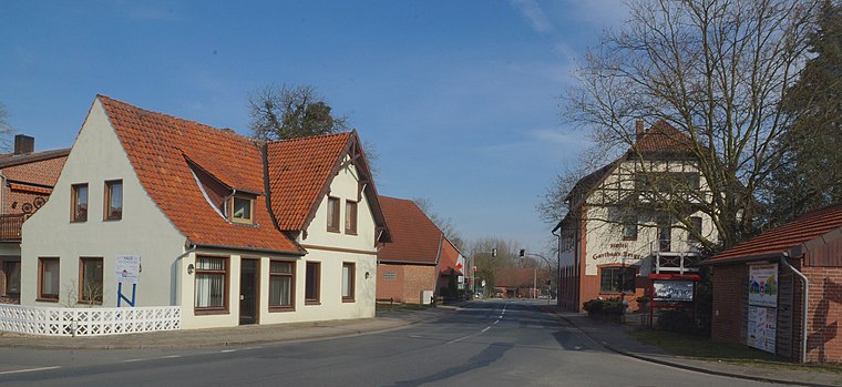
Photo: flamenc, CC BY-SA 3.0.
Husum is a municipality in the district of Nienburg, in Lower Saxony, Germany. Husum is situated 3 km south of Hof Block.
Linsburg
Village
Linsburg is a municipality in the district of Nienburg, in Lower Saxony, Germany. Linsburg is situated 3½ km east of Hof Block.
Nienburg

Photo: Clic, CC BY-SA 4.0.
Nienburg is a town of 31,000 inhabitants in Lower Saxony. Nienburg is a charming town on the scenic river Weser, with some good places to stay and a rich variety of traditional German food.
Hof Block
- Categories: shop and food
- Location: Husum, Nienburg, Lower Saxony, Germany, Central Europe, Europe
- View on OpenStreetMap
Latitude
52.59295° or 52° 35′ 35″ northLongitude
9.25346° or 9° 15′ 13″ eastOperator
Hof Block GmbH & Co. KG ‘Schick & Lecker’ Inh. Meike BlockOpen location code
9F4FH7V3+59OpenStreetMap ID
node 4193600326OpenStreetMap feature
shop=farm
This page is based on OpenStreetMap, Wikidata, and Wikimedia Commons.
We’d love your help improving our open data sources. Thank you for contributing.
Satellite Map
Discover Hof Block from above in high-definition satellite imagery.
Notable Places Nearby
Highlights include Friedhof Schessinghausen and SV Schessinghausen.
Nearby Places
Explore places such as NABU Kreisverband Nienburg/Weser e.V. and Landeplatz.
Lower Saxony: Must-Visit Destinations
Delve into Hanover, Göttingen, Brunswick, and Wolfsburg.
Curious Farm Shops to Discover
Uncover intriguing farm shops from every corner of the globe.
About Mapcarta. Data © OpenStreetMap contributors and available under the Open Database License". Text is available under the CC BY-SA 4.0 license, except for photos, directions, and the map. Photo: Danapit, CC BY-SA 3.0.