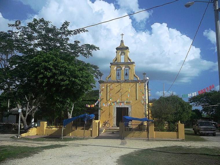
Kekén [Grupo Porcícola]
Kekén [Grupo Porcícola] is a locality in Yucatán, Yucatán and the South. Kekén [Grupo Porcícola] is situated nearby to the locality San Nicolás, as well as near Tabichén.| Tap on a place to explore it |
Places in the Area
Nearby places include San Antonio Tehuitz and Tepich Carrillo.
Tepich Carrillo
Village
 Tepich Carrillo is a village, which is situated 3 km east of Kekén [Grupo Porcícola].
Hacienda San Pedro Chimay
Village
 Hacienda San Pedro Chimay is located in the Mérida Municipality in the state of Yucatán in southeastern Mexico. It is one of the properties that arose during the nineteenth century henequen boom. Hacienda San Pedro Chimay is situated 6 km west of Kekén [Grupo Porcícola].
Kekén [Grupo Porcícola]
- Type: Locality
- Location: Yucatán, Yucatán and the South, Mexico, North America
- View on OpenStreetMap
Latitude
20.88028° or 20° 52′ 49″ northLongitude
-89.52722° or 89° 31′ 38″ westOpen location code
76GGVFJF+44OpenStreetMap ID
node 4210852075OpenStreetMap feature
place=locality
This page is based on OpenStreetMap, Wikidata, and Wikimedia Commons.
We’d love your help improving our open data sources. Thank you for contributing.
Satellite Map
Discover Kekén [Grupo Porcícola] from above in high-definition satellite imagery.
Localities in the Area
Explore places such as San Nicolás and Tabichén.
Notable Places Nearby
Highlights include Parque principal de Subincancab and Casa ejidal de Subincancab.
Yucatán: Must-Visit Destinations
Delve into Chichen Itza, Mérida, Uxmal, and Valladolid.
Curious Localities to Discover
Uncover intriguing localities from every corner of the globe.
About Mapcarta. Data © OpenStreetMap contributors and available under the Open Database License". Text is available under the CC BY-SA 4.0 license, except for photos, directions, and the map. Photo: Wikimedia, CC0.