Gite d’Etape Espace Stevenson
Gite d’Etape Espace Stevenson is a hostel in Lozère, Occitanie. Gite d’Etape Espace Stevenson is situated nearby to the post office Relais La Poste, as well as near the ruins Village.| Tap on a place to explore it |
Places of Interest Nearby
Highlights include Gardon and Temple de Cassagnas.
Gardon
Spring
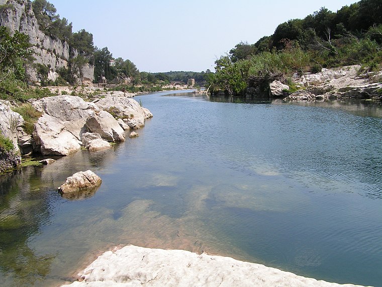
Photo: Athenchen, CC BY-SA 3.0.
The Gardon or Gard is a river in southern France. It is the namesake of the department of Gard. Several of its tributaries are also called Gardon. It is 127.6 km long, and takes its source in the commune of Saint-Martin-de-Lansuscle, in the Cévennes mountain range. Gardon is situated 3 km south of Gite d’Etape Espace Stevenson.
Temple de Cassagnas
Church

Photo: K800i, CC BY-SA 4.0.
Temple de Cassagnas is a church, which is situated 1 km east of Gite d’Etape Espace Stevenson.
Places in the Area
Nearby places include Saint-Julien-d’Arpaon and Saint-Martin-de-Lansuscle.
Saint-Julien-d’Arpaon
Village

Photo: Sanguinez, CC BY-SA 3.0.
Saint-Julien-d'Arpaon is a former commune in the Lozère department in southern France. On 1 January 2016, it was merged into the new commune of Cans-et-Cévennes. Saint-Julien-d’Arpaon is situated 6 km northwest of Gite d’Etape Espace Stevenson.
Saint-Martin-de-Lansuscle
Village

Photo: Guibli, CC BY-SA 3.0.
Saint-Martin-de-Lansuscle is a commune in the Lozère department in southern France. Saint-Martin-de-Lansuscle is situated 6 km south of Gite d’Etape Espace Stevenson.
Barre-des-Cévennes
Village

Photo: Myrabella, CC BY-SA 3.0.
Barre-des-Cévennes is a commune in the Lozère department in southern France. Barre-des-Cévennes is situated 7 km southwest of Gite d’Etape Espace Stevenson.
Gite d’Etape Espace Stevenson
- Email: contact@relais-stevenson.fr
- Type: Hostel
- Categories: tourism, accommodation, and building
- Location: Lozère, Occitanie, France, Europe
- View on OpenStreetMap
Latitude
44.27184° or 44° 16′ 19″ northLongitude
3.73049° or 3° 43′ 50″ eastOpen location code
8FP57PCJ+P5OpenStreetMap ID
node 4227293091OpenStreetMap feature
tourism=hostel
This page is based on OpenStreetMap, Wikidata, and Wikimedia Commons.
We’d love your help improving our open data sources. Thank you for contributing.
Satellite Map
Discover Gite d’Etape Espace Stevenson from above in high-definition satellite imagery.
Notable Places Nearby
Highlights include Relais La Poste and Village.
Nearby Places
Explore places such as Espace Stevenson and Ancienne Gare de Cassagnas.
Occitanie: Must-Visit Destinations
Delve into Haute-Garonne, Toulouse, Montpellier, and Lot.
Curious Hostels to Discover
Uncover intriguing hostels from every corner of the globe.
About Mapcarta. Data © OpenStreetMap contributors and available under the Open Database License". Text is available under the CC BY-SA 4.0 license, except for photos, directions, and the map. Photo: Benh, CC BY-SA 3.0.