DJH Jugendherberge
DJH Jugendherberge is a hostel in North Rhine-Westphalia, Germany. DJH Jugendherberge is situated nearby to Schwimmverein Rheine 1998 e.V., as well as near the garden Japanischer Garten.| Tap on a place to explore it |
Places of Interest Nearby
Highlights include Herz-Jesu-Kirche and St Anthony’s Basilica, Rheine.
Herz-Jesu-Kirche
Church

Photo: Drusenthal, CC BY-SA 4.0.
Herz-Jesu-Kirche is a church, which is situated 410 metres southeast of DJH Jugendherberge.
St Anthony’s Basilica, Rheine
Church

Photo: Sharps, CC BY-SA 2.0 de.
St. Anthony's Basilica is a neo-Romanesque church building in Rheine - Eschendorf. The church was built between 1899 and 1905 in the style of a Romanesque imperial cathedral and dedicated to Saint Anthony of Padua. St Anthony’s Basilica, Rheine is situated 690 metres northwest of DJH Jugendherberge.
Rheine station
Railway station
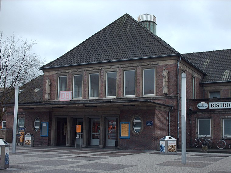
Photo: Stefan Flöper, CC BY-SA 4.0.
Rheine is a railway station located in Rheine, Germany. The station is located on the Löhne–Rheine, Emsland Railway and the Münster–Rheine lines. The train services are operated by Deutsche Bahn, WestfalenBahn and National Express. Rheine station is situated 1½ km west of DJH Jugendherberge.
Places in the Area
Nearby places include Südesch and Rheine.

Rheine

Photo: XRay, CC BY-SA 4.0.
Rheine is a city in the district of Steinfurt in Westphalia, Germany. It is the largest city in the district and the location of Rheine Air Base.
Wadelheim
Suburb

Photo: Zumthie, Public domain.
Wadelheim is a suburb, which is situated 4 km west of DJH Jugendherberge.
DJH Jugendherberge
- Type: Hostel
- Categories: tourism, accommodation, and building
- Location: North Rhine-Westphalia, Germany, Central Europe, Europe
- View on OpenStreetMap
Latitude
52.27772° or 52° 16′ 40″ northLongitude
7.45693° or 7° 27′ 25″ eastOpen location code
9F497FH4+3QOpenStreetMap ID
node 426713365OpenStreetMap feature
tourism=hostel
This page is based on OpenStreetMap, Wikidata, and Wikimedia Commons.
We’d love your help improving our open data sources. Thank you for contributing.
Satellite Map
Discover DJH Jugendherberge from above in high-definition satellite imagery.
Notable Places Nearby
Highlights include Schwimmverein Rheine 1998 e.V. and Japanischer Garten.
Nearby Places
Explore places such as Jugendherberge and Gespräch.
North Rhine-Westphalia: Must-Visit Destinations
Delve into Cologne, Düsseldorf, Bonn, and Dortmund.
Curious Hostels to Discover
Uncover intriguing hostels from every corner of the globe.
About Mapcarta. Data © OpenStreetMap contributors and available under the Open Database License". Text is available under the CC BY-SA 4.0 license, except for photos, directions, and the map. Photo: Daniel Schwen, CC BY-SA 2.5.