Viveres Loja
Viveres Loja is a convenience store in Quito, Pichincha. Viveres Loja is situated nearby to the police station Policia Chiriyacu, as well as near the church Iglesia Bautista Jesus Es El Senior.| Tap on a place to explore it |
Places of Interest Nearby
Highlights include El Recreo metro station and El Panecillo.
El Recreo metro station
Metro station

Photo: Emilio Mondragón, CC BY-SA 4.0.
El Recreo is a Quito Metro station. It was officially opened on 21 December 2022 as part of the inaugural section of the system between Quitumbe and El Labrador. El Recreo metro station is situated 1¼ km west of Viveres Loja.
El Panecillo
Peak

Photo: Cayambe, CC BY-SA 3.0.
El Panecillo is a 200-metre-high hill of volcanic-origin, with loess soil, located between southern and central Quito. Its peak is at an elevation of 3,016 metres above sea level. El Panecillo is situated 3 km north of Viveres Loja.
Palacio de Carondelet
Government office
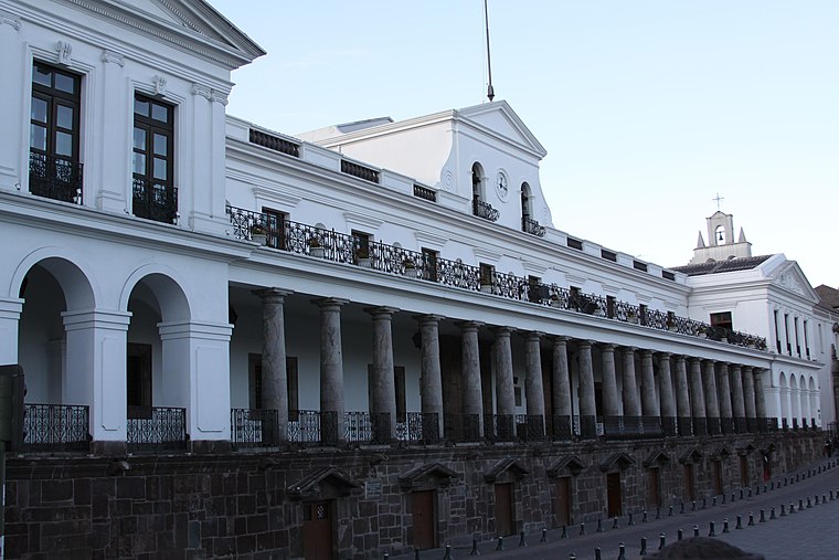 Carondelet Palace is the seat of government of the Republic of Ecuador, located in Quito. Access is by the public space known as Independence Square or Plaza Grande, around which are also the Archbishop's Palace, Municipal Palace, Hotel Plaza Grande, and Metropolitan Cathedral. Palacio de Carondelet is situated 4 km north of Viveres Loja.
Places in the Area
Nearby places include Quito.
Quito
 Quito, the capital of Ecuador, was founded in 1534 on the ruins of an ancient Inca city. Quito's Old City is the largest in the Americas and was one of the first UNESCO World Heritage Sites, recognized as the largest and most intact colonial city center remaining in the Americas.
Viveres Loja
- Type: Convenience store
- Categories: shop and food
- Location: Quito, Quito Canton, Pichincha, Ecuador, South America
- View on OpenStreetMap
Latitude
-0.25493° or 0° 15′ 18″ southLongitude
-78.51152° or 78° 30′ 42″ westOpen location code
67F3PFWQ+29OpenStreetMap ID
node 4268772496OpenStreetMap feature
shop=convenience
This page is based on OpenStreetMap, Wikidata, and Wikimedia Commons.
We’d love your help improving our open data sources. Thank you for contributing.
Satellite Map
Discover Viveres Loja from above in high-definition satellite imagery.
Notable Places Nearby
Highlights include Policia Chiriyacu and Iglesia Bautista Jesus Es El Senior.
Nearby Places
Explore places such as Pastelería Y Panaderia Carmita and Jerem.
Ecuador: Must-Visit Destinations
Delve into Quito, Guayaquil, Chimborazo, and Cuenca.
Curious Convenience Stores to Discover
Uncover intriguing convenience stores from every corner of the globe.
About Mapcarta. Data © OpenStreetMap contributors and available under the Open Database License". Text is available under the CC BY-SA 4.0 license, except for photos, directions, and the map. Photo: Wikimedia, CC0.