Tour Jarlier
Tour Jarlier is a tower in Saint-Tropez, Arrondissement of Draguignan, Provence-Alpes-Côte d’Azur. Tour Jarlier is situated nearby to the health club Fitline, as well as near the square Place de l’Ormeau.| Tap on a place to explore it |
Photo: Martinp1, CC BY-SA 3.0.
Places of Interest Nearby
Highlights include Eglise Notre-Dame-de-l’Assomption de Saint-Tropez and Place des Lices.
Eglise Notre-Dame-de-l’Assomption de Saint-Tropez
Church

Photo: Starus, CC BY-SA 3.0.
Eglise Notre-Dame-de-l’Assomption de Saint-Tropez is a church.
Place des Lices

Photo: Wikimedia, CC BY-SA 3.0.
Place des Lices also known as Place Carnot is a nineteenth century public square in the city of Saint-Tropez, France.
Annonciade Museum
Museum
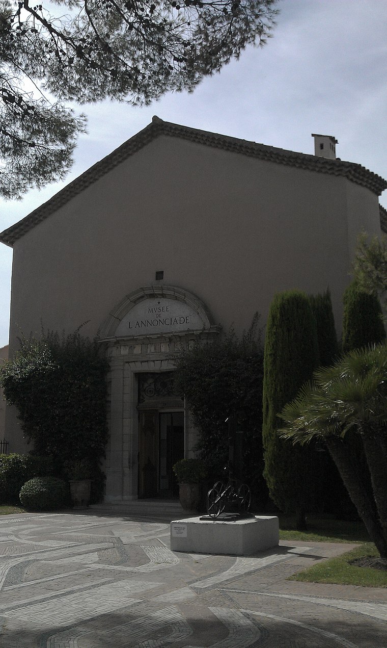
Photo: Helicoman, CC BY-SA 3.0.
Annonciade Museum is situated 330 metres west of Tour Jarlier.
Places in the Area
Nearby places include Sainte-Maxime and Gassin.
Sainte-Maxime
Town

Photo: Patricia.fidi, Public domain.
Sainte-Maxime is a commune in the Var department of the Provence-Alpes-Côte d'Azur region in Southeastern France. Located on the French Riviera, 90 km west from Nice and 130 km east from Marseille, it had a population of 14,394 in 2022. Sainte-Maxime is situated 4 km north of Tour Jarlier.
Gassin
Village

Photo: Cotedazur, Public domain.
Gassin is a commune in the Var department in the Provence-Alpes-Côte d'Azur region in southeastern France. It is a member of Les Plus Beaux Villages de France Association. Gassin is situated 7 km southwest of Tour Jarlier.
Cogolin
Town

Photo: Net-breuer, CC BY-SA 3.0.
Cogolin is a commune in the Var department in the Provence-Alpes-Côte d'Azur region in southeastern France. Cogolin is situated 9 km west of Tour Jarlier.
Tour Jarlier
- Type: Tower
- Category: fortified tower
- Location: Saint-Tropez, Arrondissement of Draguignan, Var, Provence-Alpes-Côte d’Azur, France, Europe
- View on OpenStreetMap
Latitude
43.27214° or 43° 16′ 20″ northLongitude
6.64081° or 6° 38′ 27″ eastOpen location code
8FM87JCR+V8OpenStreetMap ID
node 4271825410OpenStreetMap feature
man_made=towerWikidata ID
Q22916531
This page is based on OpenStreetMap, Wikidata, and Wikimedia Commons.
We’d love your help improving our open data sources. Thank you for contributing.
Satellite Map
Discover Tour Jarlier from above in high-definition satellite imagery.
In Other Languages
“Tour Jarlier” goes by many names.
- French: “tour Jarlier”
- French: “Tour Jarlier”
Notable Places Nearby
Highlights include Fitline and Place de l’Ormeau.
Nearby Places
Explore places such as Clandestino Saint Tropez and Cohibar.
Var: Must-Visit Destinations
Delve into Toulon, Hyères, Fréjus, and Saint-Raphaël.
Curious Towers to Discover
Uncover intriguing towers from every corner of the globe.
About Mapcarta. Data © OpenStreetMap contributors and available under the Open Database License". Text is available under the CC BY-SA 4.0 license, except for photos, directions, and the map. Photo: Martinp1, CC BY-SA 3.0.