Les Verrières Gare
Les Verrières Gare is a bus stop in Les Verrières, Val-de-Travers District, Canton of Neuchâtel and has an elevation of 931 metres. Les Verrières Gare is situated nearby to the church Église, as well as near the village Les Bayards.| Tap on a place to explore it |
Places of Interest Nearby
Highlights include Église Saint-Sébastien and Le Grand Taureau.
Église Saint-Sébastien
Church

Photo: Waldteufel78, CC BY-SA 4.0.
Église Saint-Sébastien is a church, which is situated 2½ km west of Les Verrières Gare.
Le Grand Taureau

Photo: TravelPony, CC BY-SA 4.0.
Le Grand Taureau is situated 4 km west of Les Verrières Gare.
Places in the Area
Nearby places include Les Bayards and La Côte-aux-Fées.
Les Bayards
Village

Photo: Roland Zumbuehl, CC BY 3.0.
Les Bayards was a municipality in the district of Val-de-Travers in the canton of Neuchâtel in Switzerland. On 1 January 2009, the former municipalities of Boveresse, Buttes, Couvet, Fleurier, Les Bayards, Môtiers, Noiraigue, Saint-Sulpice and Travers merged to form Val-de-Travers. Les Bayards is situated 3 km northeast of Les Verrières Gare.
La Côte-aux-Fées
Village
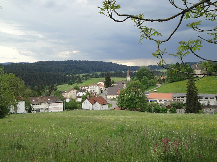
Photo: Wikimedia, CC BY-SA 3.0.
La Côte-aux-Fées is a municipality in the canton of Neuchâtel in Switzerland. La Côte-aux-Fées is situated 4½ km south of Les Verrières Gare.
Les Alliés
Village

Photo: Lucastristan, CC0.
Les Alliés is a commune in the Doubs department in the Bourgogne-Franche-Comté region in eastern France. Les Alliés is situated 5 km northwest of Les Verrières Gare.
Les Verrières Gare
- Type: Bus stop
- Category: transportation
- Location: Les Verrières, Val-de-Travers District, Canton of Neuchâtel, Switzerland, Central Europe, Europe
- View on OpenStreetMap
Latitude
46.90509° or 46° 54′ 18″ northLongitude
6.47923° or 6° 28′ 45″ eastElevation
931 metres (3,054 feet)Operator
TRN/AutrvtNetwork
Onde VerteOpen location code
8FR8WF4H+2MOpenStreetMap ID
node 428743076OpenStreetMap feature
highway=bus_stopOpenStreetMap feature
public_transport=platform
This page is based on OpenStreetMap, Wikidata, and Wikimedia Commons.
We’d love your help improving our open data sources. Thank you for contributing.
Satellite Map
Discover Les Verrières Gare from above in high-definition satellite imagery.
Notable Places Nearby
Highlights include Les Verrières and Église.
Nearby Places
Explore places such as Les Verrières, gare and Hôtel de Ville.
Switzerland: Must-Visit Destinations
Delve into Zurich, Berne, Geneva, and Basel.
Curious Bus Stops to Discover
Uncover intriguing bus stops from every corner of the globe.
About Mapcarta. Data © OpenStreetMap contributors and available under the Open Database License". Text is available under the CC BY-SA 4.0 license, except for photos, directions, and the map. Photo: Simonizer, CC BY-SA 2.0 de.