Albuch
Albuch is a peak in Ederheim, Donau-Ries, Bavaria and has an elevation of 543 metres. Albuch is situated nearby to the village Hürnheim, as well as near the hamlet Niederhaus.| Tap on a place to explore it |
Places of Interest
Highlights include Schloss Reimlingen and Burg Niederhaus.


Places in the Area
Nearby places include Nördlingen and Reimlingen.
Nördlingen

Photo: Tilman2007, CC BY 3.0.
Nördlingen is a city in Swabia in the German state of Bavaria. It is one of only three towns in Germany that still have completely intact city walls. It was built in the impact crater of a meteorite.
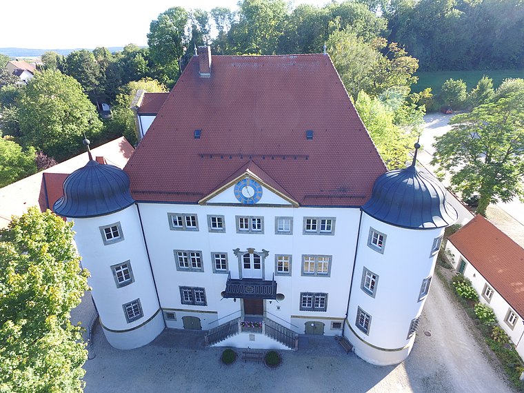
Reimlingen
Village

Photo: Manfi.B., CC BY-SA 3.0.
Reimlingen is a municipality in the district of Donau-Ries in Bavaria in Germany.
Forheim
Village

Photo: Wolkenkratzer, CC BY-SA 4.0.
Forheim is a municipality in the district of Donau-Ries in Bavaria in Germany.
Albuch
- Type: Peak with an elevation of 543 metres
- Category: landform
- Location: Ederheim, Donau-Ries, Bavarian Swabia, Bavaria, Germany, Central Europe, Europe
- View on OpenStreetMap
Latitude
48.8048° or 48° 48′ 17″ northLongitude
10.494° or 10° 29′ 39″ eastElevation
543 metres (1,781 feet)Open location code
8FWGRF3V+WJOpenStreetMap ID
node 430328372OpenStreetMap feature
natural=peak
This page is based on OpenStreetMap, Wikidata, and Wikimedia Commons.
We’d love your help improving our open data sources. Thank you for contributing.
Satellite Map
Discover Albuch from above in high-definition satellite imagery.
Places with the Same Name
Discover other places named “Albuch”.
Localities in the Area
Explore places such as Hürnheim and Niederhaus.
Notable Places Nearby
Highlights include Schlacht bei Nördlingen and Haselwäldchen.
Bavarian Swabia: Must-Visit Destinations
Delve into Augsburg, Memmingen, Kempten, and Füssen.
Curious Peaks to Discover
Uncover intriguing peaks from every corner of the globe.
About Mapcarta. Data © OpenStreetMap contributors and available under the Open Database License". Text is available under the CC BY-SA 4.0 license, except for photos, directions, and the map. Photo: Tilman2007, CC BY-SA 3.0.