Szőregi Dorozsma
Szőregi Dorozsma is a locality in Hungary. Szőregi Dorozsma is situated nearby to the suburb Marostői kiskertek, as well as near Cserőke.| Tap on a place to explore it |
Places of Interest
Highlights include Serbian Orthodox Church in Szőreg and Újszeged railway station.

Újszeged railway station
Railway station

Photo: Beroesz, CC BY-SA 3.0.
Újszeged railway station is situated 4 km northwest of Szőregi Dorozsma.
Szent Mihály templom
Church

Photo: Shepard.christoph, CC BY-SA 3.0.
Szent Mihály templom is a church, which is situated 4 km north of Szőregi Dorozsma.
Places in the Area
Nearby places include Szőreg and Újszeged.
Szőreg
Suburb
Szőreg is a settlement which forms a part of Szeged in Csongrád-Csanád County, in the Banat ) region, Hungary. There are some Serbs living there besides Hungarians.
Újszeged
Suburb

Photo: 13HistoriaStef, CC BY-SA 4.0.
Újszeged is a suburb, which is situated 3½ km northwest of Szőregi Dorozsma.
Tápé
Suburb
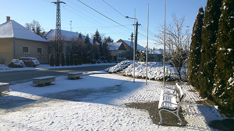
Photo: SlowlyJohny, CC BY-SA 3.0.
Tápé is a suburb, which is situated 4½ km north of Szőregi Dorozsma.
Szőregi Dorozsma
- Type: Locality
- Location: Hungary, Central Europe, Europe
- View on OpenStreetMap
Latitude
46.22486° or 46° 13′ 30″ northLongitude
20.2037° or 20° 12′ 13″ eastOpen location code
8GR266F3+WFOpenStreetMap ID
node 4308158603OpenStreetMap feature
place=locality
This page is based on OpenStreetMap, Wikidata, and Wikimedia Commons.
We’d love your help improving our open data sources. Thank you for contributing.
Satellite Map
Discover Szőregi Dorozsma from above in high-definition satellite imagery.
Localities in the Area
Explore places such as Marostői kiskertek and Cserőke.
Notable Places Nearby
Highlights include Ezüst-tó and Szőregi Apátság romjai.
Hungary: Must-Visit Destinations
Delve into Budapest, Sopron, Győr, and Debrecen.
Curious Localities to Discover
Uncover intriguing localities from every corner of the globe.
About Mapcarta. Data © OpenStreetMap contributors and available under the Open Database License". Text is available under the CC BY-SA 4.0 license, except for photos, directions, and the map. Photo: Grin, CC BY-SA 3.0.