妙福寺
妙福寺 is a Buddhist temple in Machida, Tokyo. 妙福寺 is situated nearby to the park 第三公園, as well as near the tourism office 三輪の森ビジターセンター.| Tap on a place to explore it |
Places of Interest Nearby
Highlights include Nippon Sport Science University and Kakio Station.
Nippon Sport Science University
University

Photo: あばさー, Public domain.
Nippon Sport Science University, abbreviated as Nittaidai, is a private university in Setagaya, Tokyo and Aoba-ku, Yokohama. The precursor of the school was founded in 1893, and it was chartered as a university in 1949. Nippon Sport Science University is situated 1½ km south of 妙福寺.
Kakio Station
Railway station

Photo: Nyao148, CC BY-SA 3.0.
Kakio Station is a railway station on the Odakyu Odawara Line in Asao-ku, Kawasaki, Kanagawa Prefecture, Japan. It is 23.4 km from the Odakyu Odawara Line's terminus at Shinjuku Station. Kakio Station is situated 1½ km north of 妙福寺.

Places in the Area
Nearby places include Okagami and Asao-ku.

Asao-ku
Suburb
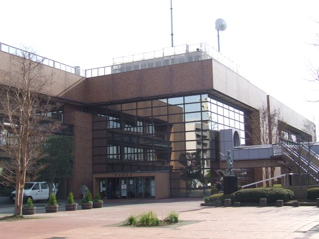
Photo: Wikimedia, CC BY-SA 3.0.
Asao-ku is one of the 7 wards of the city of Kawasaki in Kanagawa Prefecture, Japan. As of 2010, the ward had an estimated population of 167,792 and a density of 7,210 persons per km². The total area was 23.28 km². Asao-ku is situated 3½ km north of 妙福寺.
Gorikida
Neighborhood

Photo: Wikimedia, CC BY-SA 3.0.
Gorikida is a neighborhood, which is situated 3½ km north of 妙福寺.
妙福寺
- Type: Buddhist temple
- Categories: place of worship and religion
- Location: Machida, Tokyo, Japan, East Asia, Asia
- View on OpenStreetMap
Latitude
35.57478° or 35° 34′ 29″ northLongitude
139.49987° or 139° 29′ 60″ eastOpen location code
8Q7XHFFX+WWOpenStreetMap ID
node 4322684594OpenStreetMap feature
amenity=place_of_worshipWikidata ID
Q22120572
This page is based on OpenStreetMap, Wikidata, and Wikimedia Commons.
We’d love your help improving our open data sources. Thank you for contributing.
Satellite Map
Discover 妙福寺 from above in high-definition satellite imagery.
In Other Languages
“妙福寺” goes by many names.
- Japanese: “妙福寺”
Places with the Same Name
Discover other places named “妙福寺”.
Notable Places Nearby
Highlights include 第三公園 and 三輪の森ビジターセンター.
Nearby Places
Explore places such as 妙福寺前 and グランドール大台.
Japan: Must-Visit Destinations
Delve into Tokyo, Osaka, Kyoto, and Yokohama.
Curious Buddhist Temples to Discover
Uncover intriguing Buddhist temples from every corner of the globe.
About Mapcarta. Data © OpenStreetMap contributors and available under the Open Database License". Text is available under the CC BY-SA 4.0 license, except for photos, directions, and the map. Photo: ブルーノ・プラス, CC BY 4.0.