SBSS-PMBA
SBSS-PMBA is a police station in Salvador, Grande Salvador, Bahia which is located on Avenida Centenário. SBSS-PMBA is situated nearby to the police station Departamento de Polícia Técnica, as well as near the building Antonio Vieira College.| Tap on a place to explore it |
Places of Interest Nearby
Highlights include Antonio Vieira College and SaladeArte Cinema da UFBA.
Antonio Vieira College
Building
Antonio Vieira College is a private Catholic primary and secondary school located in Salvador, Brazil. Founded by the Society of Jesus in 1911, the school has about 5,000 students enrolled in grades one through eleven, and also gives night classes for youth and adults. Antonio Vieira College is situated 220 metres northwest of SBSS-PMBA.
SaladeArte Cinema da UFBA
Movie theater

Photo: Ajmcbarreto, CC BY-SA 4.0.
SaladeArte Cinema da UFBA is a movie theater, which is situated 770 metres southwest of SBSS-PMBA.
Sala Walter da Silveira
Movie theater

Photo: Ajmcbarreto, CC BY-SA 4.0.
Sala Walter da Silveira is a movie theater, which is situated 740 metres north of SBSS-PMBA.
Places in the Area
Nearby places include Graça and Água de Meninos.
Graça
Suburb

Photo: Sailko, CC BY-SA 4.0.
Graça is a neighborhood located in the southern zone of Salvador, Bahia. It is one of the oldest neighborhoods in Salvador. The Church and Monastery of Our Lady of Grace is located in Graça.
Água de Meninos
Neighborhood

Photo: Wikimedia, CC BY-SA 4.0.
Água de Meninos is a neighborhood, which is situated 4 km north of SBSS-PMBA.
Horto Bela Vista
Neighborhood
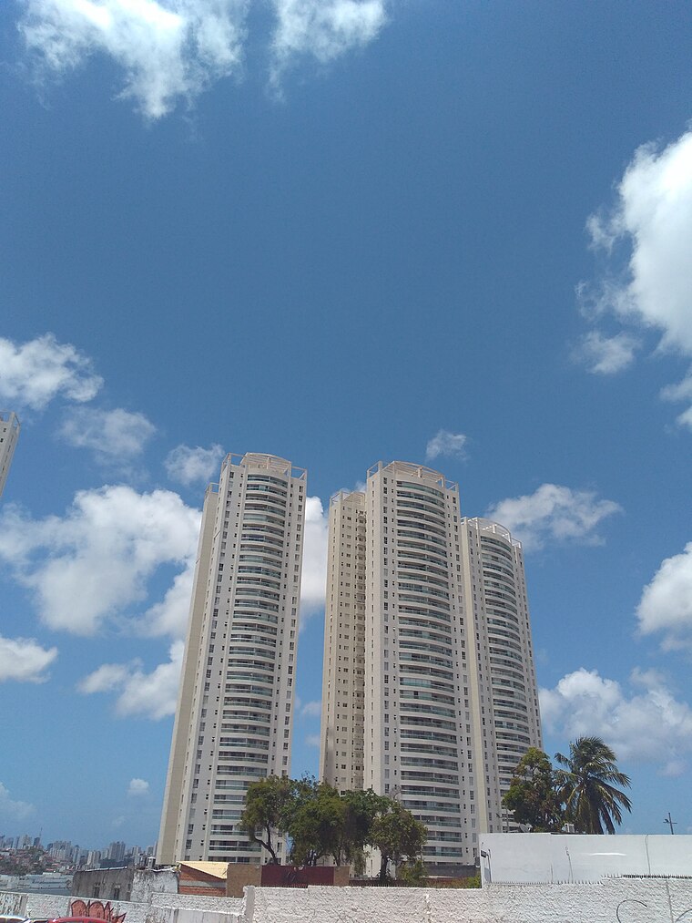
Photo: Ajmcbarreto, CC BY-SA 4.0.
Horto Bela Vista is a neighborhood, which is situated 5 km northeast of SBSS-PMBA.
SBSS-PMBA
- Type: Police station
- Address: Avenida Centenário
- Location: Salvador, Grande Salvador, Bahia, Northeast, Brazil, South America
- View on OpenStreetMap
Latitude
-12.99232° or 12° 59′ 32″ southLongitude
-38.51241° or 38° 30′ 45″ westOpen location code
59V32F5Q+32OpenStreetMap ID
node 4353774390OpenStreetMap feature
amenity=police
This page is based on OpenStreetMap, Wikidata, and Wikimedia Commons.
We’d love your help improving our open data sources. Thank you for contributing.
Satellite Map
Discover SBSS-PMBA from above in high-definition satellite imagery.
Notable Places Nearby
Highlights include Departamento de Polícia Técnica and CREAS.
Nearby Places
Explore places such as Centro de Referência Anemia Falciforme and Vapt Blue.
Grande Salvador: Must-Visit Destinations
Delve into Santo Antônio de Jesus, Cachoeira, Itaparica, and Praia do Forte.
Curious Police Stations to Discover
Uncover intriguing police stations from every corner of the globe.
About Mapcarta. Data © OpenStreetMap contributors and available under the Open Database License". Text is available under the CC BY-SA 4.0 license, except for photos, directions, and the map. Photo: Wikimedia, CC0.