Pilar de Pérez
Pilar de Pérez is a spring in Aracena, Huelva, Andalusia. Pilar de Pérez is situated nearby to the town Aracena, as well as near the village Corteconcepción.| Tap on a place to explore it |
Places of Interest Nearby
Highlights include Aracena town hall and Casino Arias Montano.
Aracena town hall
Town hall
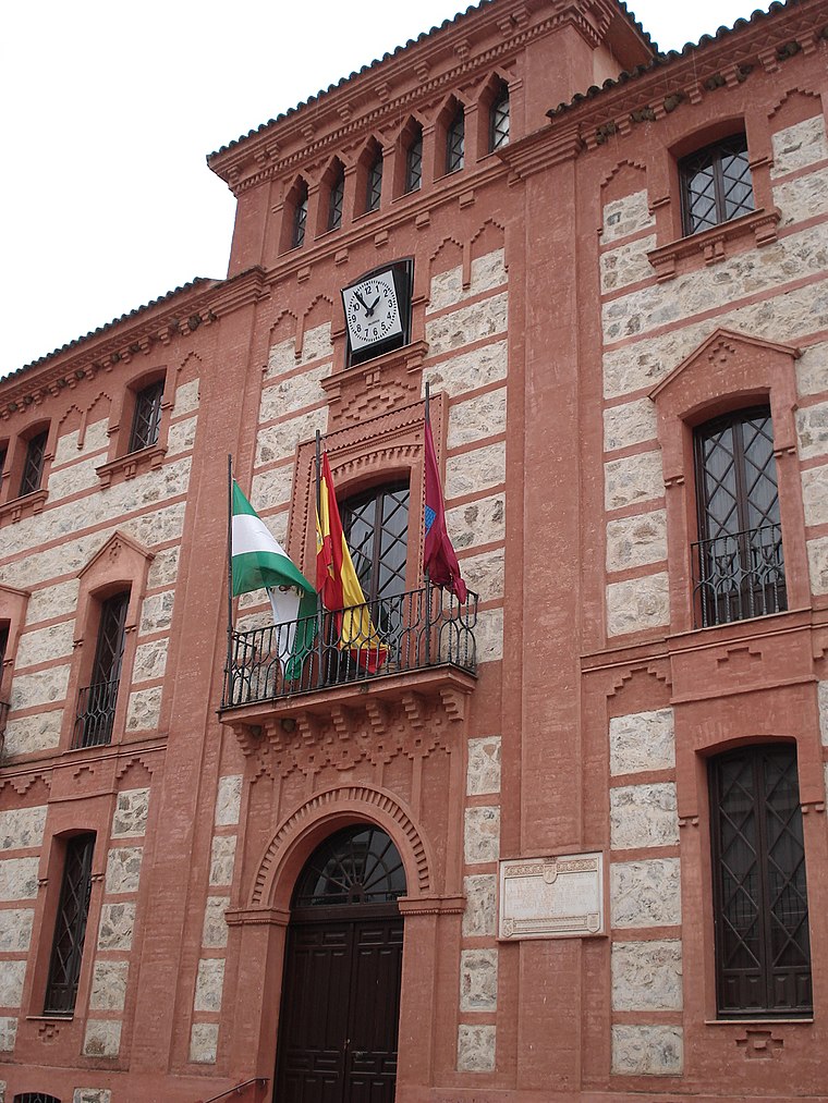
Photo: Wikimedia, Public domain.
Aracena town hall is situated 1½ km northwest of Pilar de Pérez.
Casino Arias Montano

Photo: Luis Rogelio HM, CC BY-SA 2.0.
Casino Arias Montano is situated 2 km northwest of Pilar de Pérez.
Iglesia de Nuestra Señora de los Dolores
Church

Photo: OceanJupiter, CC BY-SA 3.0.
Iglesia de Nuestra Señora de los Dolores is a church, which is situated 1½ km northwest of Pilar de Pérez.
Places in the Area
Nearby places include Aracena and Corteconcepción.
Aracena
Town
 Aracena is a town and municipality located in the province of Huelva, southwestern Spain. As of 2012, the city has a population of 7,814 inhabitants. The town derived its name from the Sierra de Aracena, which is part of the Sierra Morena system.
Corteconcepción
Village

Photo: Martusk88, CC BY-SA 3.0.
Corteconcepción is a town and municipality located in the province of Huelva, Spain. According to the 2005 census, it has a population of 620 inhabitants and covers a 49 km2 area. It sits at an altitude of 572 m above sea level, and is 114 km from the capital. Corteconcepción is situated 4 km northeast of Pilar de Pérez.
Carboneras
Hamlet
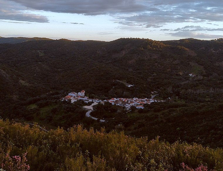
Photo: Xiroux, CC BY-SA 4.0.
Carboneras is a hamlet, which is situated 4 km north of Pilar de Pérez.
Pilar de Pérez
- Type: Spring
- Category: body of water
- Location: Aracena, Huelva, Andalusia, Spain, Iberia, Europe
- View on OpenStreetMap
Latitude
37.88173° or 37° 52′ 54″ northLongitude
-6.54604° or 6° 32′ 46″ westOpen location code
8C9MVFJ3+MHOpenStreetMap ID
node 4368477968OpenStreetMap feature
natural=spring
This page is based on OpenStreetMap, Wikidata, and Wikimedia Commons.
We’d love your help improving our open data sources. Thank you for contributing.
Satellite Map
Discover Pilar de Pérez from above in high-definition satellite imagery.
Notable Places Nearby
Highlights include Estación de Autobuses de Aracena and Guardia Civil.
Nearby Places
Explore places such as Hotel La Era de Aracena and Casa La Esperanza.
Huelva: Must-Visit Destinations
Delve into Huelva, Palos de la Frontera, Culturally significant landscapes in Huelva, and Almonaster la Real.
Curious Springs to Discover
Uncover intriguing springs from every corner of the globe.
About Mapcarta. Data © OpenStreetMap contributors and available under the Open Database License". Text is available under the CC BY-SA 4.0 license, except for photos, directions, and the map. Photo: Wikimedia, CC0.