Wesenberg, Friedhof
Wesenberg, Friedhof is a bus stop in Wesenberg, Mecklenburgische Seenplatte, Mecklenburg-Western Pomerania. Wesenberg, Friedhof is situated nearby to the fire station Freiwillige Feuerwehr Wesenberg, as well as near the church St. Marien.| Tap on a place to explore it |
Places of Interest Nearby
Highlights include brenn:werk eG and Wesenberg Castle.
brenn:werk eG
Historic building

Photo: Brennwerk, CC BY-SA 4.0.
brenn:werk eG is a historic building, which is situated 640 metres north of Wesenberg, Friedhof.
Wesenberg Castle
Castle
 Wesenberg Castle is a motte-and-bailey castle in Wesenberg, Mecklenburg-Vorpommern. Of the original castle, only the bergfried tower and an adjacent part of the former ring wall survives. Wesenberg Castle is situated 620 metres east of Wesenberg, Friedhof.
St. Johannes der Täufer
Church

Photo: Holzheizer, CC0.
St. Johannes der Täufer is a church, which is situated 570 metres north of Wesenberg, Friedhof.
Places in the Area
Nearby places include Groß Quassow and Drosedow.
Groß Quassow
Hamlet
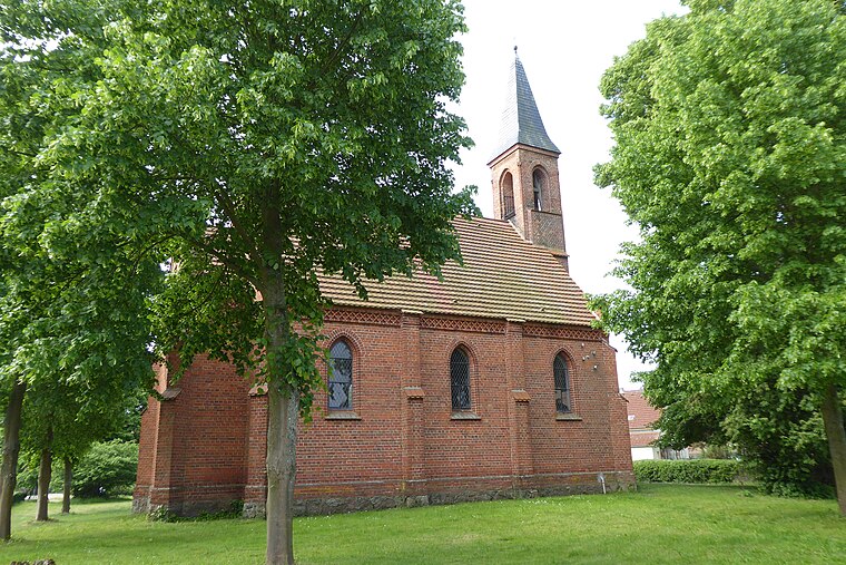
Photo: Z thomas, CC BY-SA 4.0.
Groß Quassow is a hamlet, which is situated 6 km northeast of Wesenberg, Friedhof.
Drosedow
Village

Photo: Niteshift, CC BY-SA 3.0.
Drosedow is a village, which is situated 6 km southwest of Wesenberg, Friedhof.
Wustrow
Village

Photo: Niteshift, CC BY-SA 3.0.
Wustrow is a municipality in the Mecklenburgische Seenplatte district, in Mecklenburg-Vorpommern, Germany. Wustrow is situated 6 km south of Wesenberg, Friedhof.
Wesenberg, Friedhof
- Type: Bus stop
- Category: transportation
- Location: Wesenberg, Mecklenburgische Seenplatte, Mecklenburg-Western Pomerania, Germany, Central Europe, Europe
- View on OpenStreetMap
Latitude
53.28033° or 53° 16′ 49″ northLongitude
12.96324° or 12° 57′ 48″ eastOperator
MVVGNetwork
MVVGOpen location code
9F5J7XJ7+47OpenStreetMap ID
node 4387298655OpenStreetMap feature
highway=bus_stopOpenStreetMap feature
public_transport=platform
This page is based on OpenStreetMap, Wikidata, and Wikimedia Commons.
We’d love your help improving our open data sources. Thank you for contributing.
Satellite Map
Discover Wesenberg, Friedhof from above in high-definition satellite imagery.
Notable Places Nearby
Highlights include Freiwillige Feuerwehr Wesenberg and St. Marien.
Nearby Places
Explore places such as Wesenberg, Friedhof and Bed & Breakfast.
Mecklenburg-Western Pomerania: Must-Visit Destinations
Delve into Schwerin, Rostock, Wismar, and Stralsund.
Curious Bus Stops to Discover
Uncover intriguing bus stops from every corner of the globe.
About Mapcarta. Data © OpenStreetMap contributors and available under the Open Database License". Text is available under the CC BY-SA 4.0 license, except for photos, directions, and the map. Photo: Schiwago, CC BY 2.5.