Urbanización La Esmeralda
Urbanización La Esmeralda is a neighborhood in Ezequiel Zamora Municipality, Monagas. Urbanización La Esmeralda is situated nearby to the quarter El Mulato, as well as near Centro.| Tap on a place to explore it |
Places in the Area
Nearby places include Santa Bárbara and El Tejero.
Santa Bárbara
Town
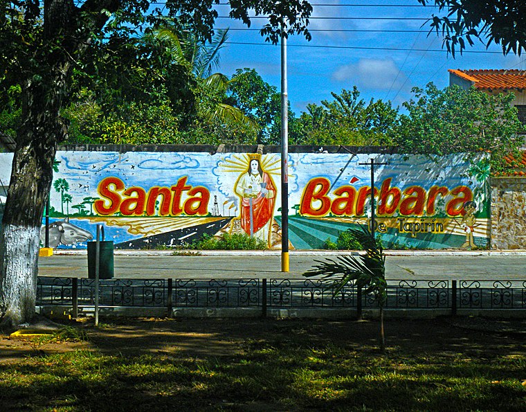
Photo: ElGuruCesar, CC BY-SA 4.0.
Santa Bárbara is a town, which is situated 8 km south of Urbanización La Esmeralda.
El Tejero
Town

Photo: ElGuruCesar, CC BY-SA 4.0.
El Tejero is a town, which is situated 9 km southwest of Urbanización La Esmeralda.
Urbanización La Esmeralda
- Type: Neighborhood
- Category: locality
- Location: Ezequiel Zamora Municipality, Monagas, Venezuela, South America
- View on OpenStreetMap
Latitude
9.68234° or 9° 40′ 56″ northLongitude
-63.60256° or 63° 36′ 9″ westOpen location code
67XRM9JW+WXOpenStreetMap ID
node 4393740977OpenStreetMap feature
place=neighbourhood
This page is based on OpenStreetMap, Wikidata, and Wikimedia Commons.
We’d love your help improving our open data sources. Thank you for contributing.
Satellite Map
Discover Urbanización La Esmeralda from above in high-definition satellite imagery.
Places with the Same Name
Discover other places named “Urbanización La Esmeralda”.
Localities in the Area
Explore places such as El Mulato and Centro.
Notable Places Nearby
Highlights include Parque Ferial and Manga de Coleo de Punta de Mata.
Venezuela: Must-Visit Destinations
Delve into Caracas, Mérida, Maracaibo, and Táchira.
Curious Neighborhoods to Discover
Uncover intriguing neighborhoods from every corner of the globe.
About Mapcarta. Data © OpenStreetMap contributors and available under the Open Database License". Text is available under the CC BY-SA 4.0 license, except for photos, directions, and the map. Photo: Wikimedia, CC0.