Gothaischer Km-Stein süd-westlich v. Wahlwinkel
Gothaischer Km-Stein süd-westlich v. Wahlwinkel is a historic site in Waltershausen, Gotha, Thuringia. Gothaischer Km-Stein süd-westlich v. Wahlwinkel is situated nearby to the fire station Freiwillige Feuerwehr Wahlwinkel, as well as near the pond Seeteich.| Tap on a place to explore it |
Places of Interest Nearby
Highlights include St. Gotthard (Wahlwinkel) and Oberhardt.
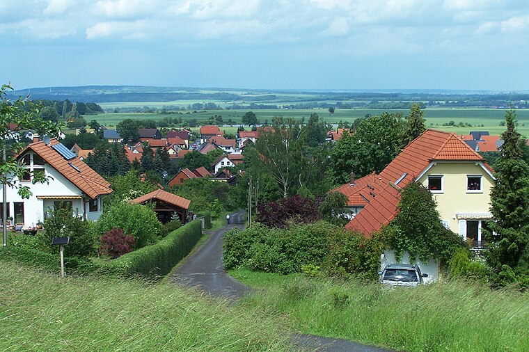
St. Gotthard (Wahlwinkel)
Church

Photo: Wikimedia, CC BY-SA 3.0.
St. Gotthard (Wahlwinkel) is a church, which is situated 540 metres northeast of Gothaischer Km-Stein süd-westlich v. Wahlwinkel.

Protestant Church Ibenhain
Church

Photo: CTHOE, CC BY-SA 3.0.
Protestant Church Ibenhain is situated 2 km west of Gothaischer Km-Stein süd-westlich v. Wahlwinkel.
Places in the Area
Nearby places include Wahlwinkel and Schnepfenthal.


Gothaischer Km-Stein süd-westlich v. Wahlwinkel
- Type: Historic site
- Categories: tourist attraction and tourism
- Location: Waltershausen, Gotha, Thuringia, Germany, Central Europe, Europe
- View on OpenStreetMap
Latitude
50.89726° or 50° 53′ 50″ northLongitude
10.59525° or 10° 35′ 43″ eastOpen location code
9F2GVHWW+W4OpenStreetMap ID
node 4398045076OpenStreetMap feature
historic=milestone
This page is based on OpenStreetMap, Wikidata, and Wikimedia Commons.
We’d love your help improving our open data sources. Thank you for contributing.
Satellite Map
Discover Gothaischer Km-Stein süd-westlich v. Wahlwinkel from above in high-definition satellite imagery.
Notable Places Nearby
Highlights include Freiwillige Feuerwehr Wahlwinkel and Seeteich.
Nearby Places
Explore places such as Agrargesellschaft and Waltershausen, Wahlwinkel.
Curious Historic Sites to Discover
Uncover intriguing historic sites from every corner of the globe.
About Mapcarta. Data © OpenStreetMap contributors and available under the Open Database License". Text is available under the CC BY-SA 4.0 license, except for photos, directions, and the map. Photo: Taxiarchos228, FAL.