Frutería José
Frutería José is a greengrocer in Portugalete, Biscay, Basque Country. Frutería José is situated nearby to the cemetery Portugaleteko hilerria / Cementerio de Portugalete, as well as near the bus stop Miguel de Unamuno (Beilatokia/Tanatorio).| Tap on a place to explore it |
Places of Interest Nearby
Highlights include Vizcaya Bridge and Portugalete.
Vizcaya Bridge

Photo: Ebaki, CC BY-SA 4.0.
The Vizcaya Bridge is a transporter bridge that links the towns of Portugalete and Las Arenas in the Biscay province of Spain, crossing the mouth of the Nervion River. Vizcaya Bridge is situated 1 km north of Frutería José.
Portugalete
Metro station

Photo: José Sáez, CC BY-SA 2.0.
Portugalete is a station on line 2 of the Bilbao metro. It is located in central Portugalete. Opening on 20 January 2007, it acted as the northern terminus of the line until the line was extended to Santurtzi. Portugalete is situated 240 metres north of Frutería José.
Hermitage of San Roque, Portugalete
Church
 Hermitage of San Roque, Portugalete is a church, which is situated 250 metres north of Frutería José.
Places in the Area
Nearby places include Portugalete and Azeta.
Portugalete
Town
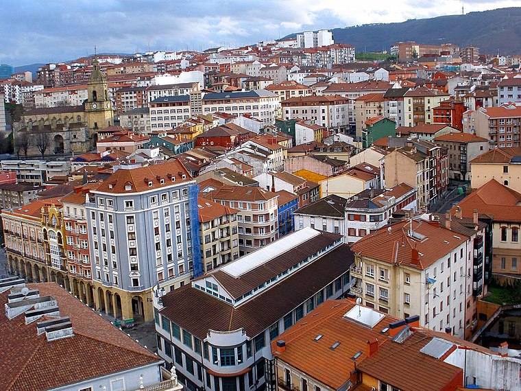 Portugalete is a town lying to the west of Bilbao in the province of Biscay in the Autonomous Community of the Basque Country, northern Spain. The town has 45,294 inhabitants as of 2021 and is part of Bilbao's metropolitan area.


Frutería José
- Type: Greengrocer
- Wheelchair access: no
- Categories: shop and food
- Location: Portugalete, Biscay, Basque Country, Northern Spain, Spain, Iberia, Europe
- View on OpenStreetMap
Latitude
43.31552° or 43° 18′ 56″ northLongitude
-3.02115° or 3° 1′ 16″ westOpen location code
8CMR8X8H+6GOpenStreetMap ID
node 4398497860OpenStreetMap feature
shop=greengrocerOpenStreetMap attribute
wheelchair=no
This page is based on OpenStreetMap, Wikidata, and Wikimedia Commons.
We’d love your help improving our open data sources. Thank you for contributing.
Satellite Map
Discover Frutería José from above in high-definition satellite imagery.
Notable Places Nearby
Highlights include Portugaleteko hilerria / Cementerio de Portugalete and Miguel de Unamuno (Beilatokia/Tanatorio).
Nearby Places
Explore places such as Mari and Montoserín.
Basque Country: Must-Visit Destinations
Delve into Bilbao, San Sebastián, Vitoria-Gasteiz, and Guernica.
Curious Greengrocers to Discover
Uncover intriguing greengrocers from every corner of the globe.
About Mapcarta. Data © OpenStreetMap contributors and available under the Open Database License". Text is available under the CC BY-SA 4.0 license, except for photos, directions, and the map. Photo: Ander Abadia Zallo, CC BY 4.0.