Gunnesbo 4H
Gunnesbo 4H is a community center in Norra Nöbbelöv, Lund Municipality, Scania. Gunnesbo 4H is situated nearby to the playground Mossens lekplats, as well as near Gula hästen.| Tap on a place to explore it |
Places of Interest Nearby
Highlights include Gunnesbo Station and Norra Nöbbelöv Church.
Gunnesbo Station
Railway station

Photo: Angriffer, Public domain.
Gunnesbo Station is a commuter train railway station in the Gunnesbo district of Lund in Sweden. The station was inaugurated on 1 June 1986 in order to serve commuters in the newly built districts Nöbbelöv and Gunnesbo along the West Coast Line. Gunnesbo Station is situated 1 km east of Gunnesbo 4H.
Norra Nöbbelöv Church
Church

Photo: Jorchr, CC BY-SA 3.0.
Norra Nöbbelöv Church is situated 800 metres northeast of Gunnesbo 4H.
Nova Lund
Shopping center

Photo: Grotte, CC BY-SA 3.0.
Nova Lund is a shopping center, which is situated 1½ km south of Gunnesbo 4H.
Places in the Area
Nearby places include Stångby and Lund.
Stångby
Village

Photo: Jorchr, CC BY-SA 3.0.
Stångby is a locality situated in Lund Municipality, Skåne County, Sweden with 1,218 inhabitants in 2010. Stångby is situated 3½ km northeast of Gunnesbo 4H.
Lund

Photo: Wikimedia, CC BY-SA 3.0.
Lund is a university city in Scania, the southern part of Sweden. Lund is one of the oldest cities in Sweden and has also played an important part in Danish history.
Jakriborg
Neighborhood
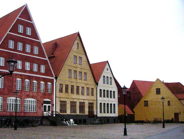
Photo: Wikimedia, CC BY-SA 3.0.
Jakriborg is a housing estate in Hjärup, Staffanstorp Municipality between Malmö and Lund in Scania, southern Sweden. The area was built in the late 1990s by the real estate firm Jakri AB and had been growing ever since. Jakriborg is situated 6 km south of Gunnesbo 4H.
Gunnesbo 4H
- Opening hours:
Monday—Friday: 1:00 PM—5:00 PM
Saturday—Sunday: 10:00 AM—noon - Type: Community center
- Location: Norra Nöbbelöv, Lund Municipality, Scania, Götaland, Sweden, Nordic countries, Europe
- View on OpenStreetMap
Latitude
55.72922° or 55° 43′ 45″ northLongitude
13.15492° or 13° 9′ 18″ eastOpen location code
9F7MP5H3+MXOpenStreetMap ID
node 4423371000OpenStreetMap feature
amenity=community_centre
This page is based on OpenStreetMap, Wikidata, and Wikimedia Commons.
We’d love your help improving our open data sources. Thank you for contributing.
Satellite Map
Discover Gunnesbo 4H from above in high-definition satellite imagery.
Notable Places Nearby
Highlights include Mossens lekplats and Gula hästen.
Nearby Places
Explore places such as Förskolan Vinden and Skålgropen.
Scania: Must-Visit Destinations
Delve into Malmö, Lund, Helsingborg, and Kristianstad.
Curious Community Centers to Discover
Uncover intriguing community centers from every corner of the globe.
About Mapcarta. Data © OpenStreetMap contributors and available under the Open Database License". Text is available under the CC BY-SA 4.0 license, except for photos, directions, and the map. Photo: Ainali, CC BY-SA 3.0.