Saland Dorf
Saland Dorf is a bus stop in Bauma, Pfäffikon District, Canton of Zurich. Saland Dorf is situated nearby to Saland railway station, as well as near the library Bibliothekverein.| Tap on a place to explore it |
Places of Interest Nearby
Highlights include Saland railway station and Hohenlandenberg Castle.
Saland railway station
Railway station

Photo: Kabelleger, CC BY-SA 3.0.
Saland railway station is a railway station in the Swiss canton of Zurich. The station is situated in the municipality of Bauma and takes its name from the nearby village of Saland. Saland railway station is situated 390 metres north of Saland Dorf.
Hohenlandenberg Castle
Castle

Photo: Parpan05, CC BY-SA 3.0.
Hohenlandenberg Castle is a castle in the municipality of Wila and the canton of Zurich in Switzerland. It is a Swiss heritage site of national significance. Hohenlandenberg Castle is situated 1¼ km northeast of Saland Dorf.
Alt-Landenberg ruin
Castle

Photo: Parpan05, CC BY-SA 3.0.
Alt-Landenberg ruin is a castle, which is situated 2½ km southeast of Saland Dorf.
Places in the Area
Nearby places include Hermatswil and Dürstelen.

Dürstelen
Village

Photo: Holder, CC BY-SA 3.0.
Dürstelen is a village, which is situated 3 km south of Saland Dorf.
Bauma
Village
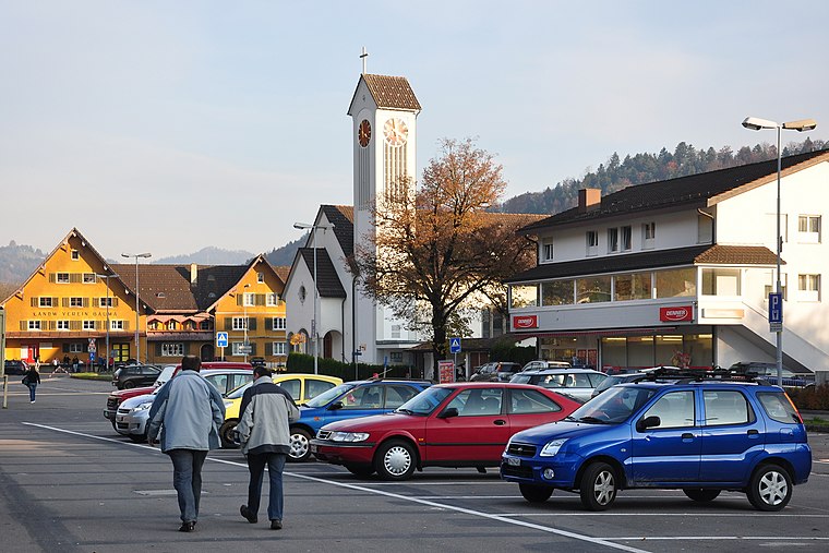
Photo: Roland zh, CC BY-SA 3.0.
Bauma is a municipality in the district of Pfäffikon in the canton of Zurich in Switzerland. Bauma is situated 3 km southeast of Saland Dorf.
Saland Dorf
- Type: Bus stop
- Also known as: “Saland, Post”
- Categories: transport stop and transportation
- Location: Bauma, Pfäffikon District, Canton of Zurich, Switzerland, Central Europe, Europe
- View on OpenStreetMap
Latitude
47.39079° or 47° 23′ 27″ northLongitude
8.85376° or 8° 51′ 14″ eastOperator
PAZNetwork
ZVVOpen location code
8FVC9VR3+8GOpenStreetMap ID
node 444562672OpenStreetMap feature
highway=bus_stopOpenStreetMap feature
public_transport=stop_position
This page is based on OpenStreetMap, Wikidata, and Wikimedia Commons.
We’d love your help improving our open data sources. Thank you for contributing.
Satellite Map
Discover Saland Dorf from above in high-definition satellite imagery.
Notable Places Nearby
Highlights include Bibliothekverein and Der Brunnen des Fischotters.
Nearby Places
Explore places such as Volg and Perucchi Phoenix Garage.
Switzerland: Must-Visit Destinations
Delve into Zurich, Berne, Geneva, and Basel.
Curious Bus Stops to Discover
Uncover intriguing bus stops from every corner of the globe.
About Mapcarta. Data © OpenStreetMap contributors and available under the Open Database License". Text is available under the CC BY-SA 4.0 license, except for photos, directions, and the map. Photo: Roland zh, CC BY-SA 3.0.