Apartment Oasis Dakkota
Apartment Oasis Dakkota is a hotel in Adeje, Santa Cruz de Tenerife which is located on Calle Helsinki. Apartment Oasis Dakkota is situated nearby to the hotel Chatur Playa Real Resort, as well as near the shopping center Aquamall.| Tap on a place to explore it |
Places of Interest Nearby
Highlights include Aqualand Costa Adeje and Bahía del Duque.
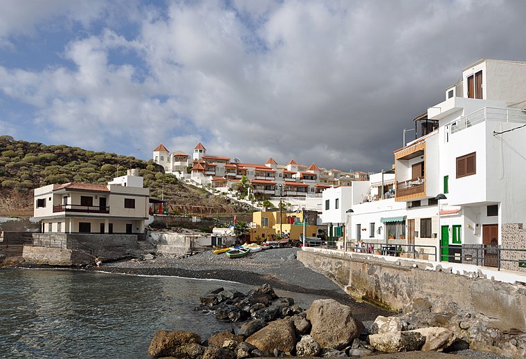
Aqualand Costa Adeje
Water park

Photo: Mike Peel, CC BY-SA 4.0.
Aqualand Costa Adeje is a water park, which is situated 1¼ km south of Apartment Oasis Dakkota.
Bahía del Duque
Hotel
This is a list of notable hotels, current or former, in Spain ordered by autonomous region. The list mainly includes five and four star hotels. Bahía del Duque is situated 1¼ km west of Apartment Oasis Dakkota.
Ermita de la Encarnación
Church

Photo: MJJR, CC BY-SA 4.0.
Ermita de la Encarnación is a church, which is situated 2 km west of Apartment Oasis Dakkota.
Places in the Area
Nearby places include Costa Adeje and Fañabé.
Costa Adeje

Photo: Zcarstvnz, CC BY-SA 4.0.
Costa Adeje is a resort town north of Los Cristianos. The name derives from the nearby town inland Adeje. It is roughly 2 km north of Playa de las Américas and 5 km north-west of Los Cristianos.

La Caleta (Tenerife)
Suburb
 La Caleta (Tenerife) is a suburb, which is situated 2½ km northwest of Apartment Oasis Dakkota.
Apartment Oasis Dakkota
- Type: Hotel
- Address: Calle Helsinki 19
- Categories: tourism, accommodation, and building
- Location: Adeje, Santa Cruz de Tenerife, Canary Islands, Spain, Iberia, Europe
- View on OpenStreetMap
Latitude
28.09177° or 28° 5′ 30″ northLongitude
-16.73033° or 16° 43′ 49″ westOpen location code
7CW537R9+PVOpenStreetMap ID
node 4470242889OpenStreetMap feature
tourism=hotel
This page is based on OpenStreetMap, Wikidata, and Wikimedia Commons.
We’d love your help improving our open data sources. Thank you for contributing.
Satellite Map
Discover Apartment Oasis Dakkota from above in high-definition satellite imagery.
In Other Languages
“Apartment Oasis Dakkota” goes by many names.
- Spanish: “Apartment”
Notable Places Nearby
Highlights include Chatur Playa Real Resort and Aquamall.
Nearby Places
Explore places such as Terpanese and Achaman I.
Canary Islands: Must-Visit Destinations
Delve into Santa Cruz de Tenerife, Las Palmas, La Palma, and La Gomera.
Curious Places to Discover
Uncover intriguing places from every corner of the globe.
About Mapcarta. Data © OpenStreetMap contributors and available under the Open Database License". Text is available under the CC BY-SA 4.0 license, except for photos, directions, and the map. Photo: Wikimedia, CC BY-SA 4.0.