Calvaire de Caumont
Calvaire de Caumont is a wayside cross in Caumont, Arrondissement de Laon, Hauts-de-France. Calvaire de Caumont is situated nearby to the church Ancienne église Saint-Pierre, as well as near Église Saint-Pierre de Caumont.| Tap on a place to explore it |
Places of Interest Nearby
Highlights include Ancienne église Saint-Pierre and Église Saint-Pierre de Caumont.
Ancienne église Saint-Pierre
Church

Photo: Enrevseluj, CC BY-SA 4.0.
Ancienne église Saint-Pierre is a church, which is situated 540 metres northwest of Calvaire de Caumont.
Église Saint-Pierre de Caumont
Church

Photo: Havang(nl), CC0.
Église Saint-Pierre de Caumont is a church, which is situated 1 km northwest of Calvaire de Caumont.
Église Notre-Dame de Commenchon
Church

Photo: Havang(nl), CC0.
Église Notre-Dame de Commenchon is a church, which is situated 2 km northwest of Calvaire de Caumont.
Places in the Area
Nearby places include Neuflieux and Béthancourt-en-Vaux.
Neuflieux
Village

Photo: Havang(nl), CC0.
Neuflieux is a commune in the Aisne department in Hauts-de-France in northern France.
Béthancourt-en-Vaux
Village

Photo: Havang(nl), CC0.
Béthancourt-en-Vaux is a commune in the department of Aisne in Hauts-de-France in northern France. Béthancourt-en-Vaux is situated 3 km west of Calvaire de Caumont.
Chauny
Town
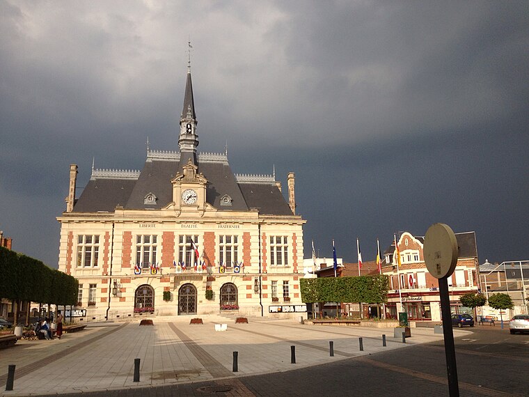
Photo: Cl9f, CC BY-SA 3.0.
Chauny is a commune in the Aisne department in Hauts-de-France in northern France. Chauny is situated 3 km southeast of Calvaire de Caumont.
Calvaire de Caumont
- Type: Wayside cross
- Category: historic site
- Location: Caumont, Arrondissement de Laon, Aisne, Hauts-de-France, France, Europe
- View on OpenStreetMap
Latitude
49.62852° or 49° 37′ 43″ northLongitude
3.18377° or 3° 11′ 2″ eastOpen location code
8FX5J5HM+CGOpenStreetMap ID
node 450150060OpenStreetMap feature
historic=wayside_cross
This page is based on OpenStreetMap, Wikidata, and Wikimedia Commons.
We’d love your help improving our open data sources. Thank you for contributing.
Satellite Map
Discover Calvaire de Caumont from above in high-definition satellite imagery.
Notable Places Nearby
Highlights include Mairie de Caumont and Église Saint-Martin de Neuflieux.
Nearby Places
Explore places such as Étang de Villette and École primaire.
Hauts-de-France: Must-Visit Destinations
Delve into Lille, Dunkirk, Calais, and Amiens.
Curious Wayside Crosses to Discover
Uncover intriguing wayside crosses from every corner of the globe.
About Mapcarta. Data © OpenStreetMap contributors and available under the Open Database License". Text is available under the CC BY-SA 4.0 license, except for photos, directions, and the map. Photo: Havang(nl), CC0.