Eisenwinkelsträßchen
Eisenwinkelsträßchen is in Baden-Württemberg, Germany. Eisenwinkelsträßchen is situated nearby to the forest Hörnle, as well as near Börlenberg.| Tap on a place to explore it |
Places of Interest Nearby
Highlights include Kirchheim-Hahnweide Airfield and Burgstelle Tiefenbach.
Kirchheim-Hahnweide Airfield
Aerodrome

Photo: Carsten Steger, CC BY-SA 4.0.
Kirchheim-Hahnweide Airfield is an aerodrome.
Burgstelle Tiefenbach
Archaeological site

Photo: Eon247, CC BY-SA 4.0.
Burgstelle Tiefenbach is an archaeological site, which is situated 2 km southeast of Eisenwinkelsträßchen.
Lindorf
Town hall
Lindorf is a formerly independent municipality in Esslingen district in Baden-Württemberg and belongs since 1935 to the town Kirchheim unter Teck. Lindorf is situated 3 km north of Eisenwinkelsträßchen.
Places in the Area
Nearby places include Hofgut Tachenhausen and Owen.
Hofgut Tachenhausen
Hamlet

Photo: Dome de, CC BY-SA 3.0.
Hofgut Tachenhausen is a hamlet, which is situated 3½ km northwest of Eisenwinkelsträßchen.
Owen
Town

Photo: Harke, CC BY-SA 3.0.
Owen is a town in the district of Esslingen in Baden-Württemberg in southern Germany. It is located 40 kilometres southeast of Stuttgart and 7 kilometres south of Kirchheim unter Teck. Owen is situated 5 km southeast of Eisenwinkelsträßchen.
Nürtingen
Town
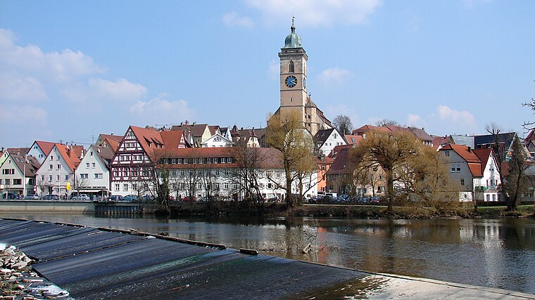
Photo: Helmlechner, CC BY-SA 4.0.
Nürtingen is a town on the river Neckar in the district of Esslingen in the state of Baden-Württemberg in southern Germany. Nürtingen is situated 5 km west of Eisenwinkelsträßchen.
Eisenwinkelsträßchen
- Type: Sign
- Categories: information and tourism
- Location: Baden-Württemberg, Germany, Central Europe, Europe
- View on OpenStreetMap
Latitude
48.61906° or 48° 37′ 9″ northLongitude
9.40591° or 9° 24′ 21″ eastElevation
398 metres (1,306 feet)Operator
Schwäbischer Albverein e.V.Open location code
8FWFJC94+J9OpenStreetMap ID
node 4508018840OpenStreetMap feature
tourism=information
This page is based on OpenStreetMap, Wikidata, and Wikimedia Commons.
We’d love your help improving our open data sources. Thank you for contributing.
Satellite Map
Discover Eisenwinkelsträßchen from above in high-definition satellite imagery.
Notable Places Nearby
Highlights include Hörnle and Eisenwinkel.
Nearby Places
Explore places such as Wechseleicheweg and Forststützpunkt.
Baden-Württemberg: Must-Visit Destinations
Delve into Stuttgart, Heidelberg, Karlsruhe, and Mannheim.
Curious Places to Discover
Uncover intriguing places from every corner of the globe.
About Mapcarta. Data © OpenStreetMap contributors and available under the Open Database License". Text is available under the CC BY-SA 4.0 license, except for photos, directions, and the map. Photo: Traveler100, CC BY-SA 3.0.