Wauberg
Wauberg is a peak in Villach, Carinthia and has an elevation of 689 metres. Wauberg is situated nearby to the village Bogenfeld, as well as near the hamlet Petschnitzen.| Tap on a place to explore it |
Places of Interest
Highlights include Fortification Wauberg and Pfarrkirche Heiliger Martin.

Pfarrkirche Heiliger Martin
Church

Photo: Johann Jaritz, CC BY-SA 3.0.
Pfarrkirche Heiliger Martin is a church.
Pfarrkirche St. Niklas an der Drau (Villach)
Church
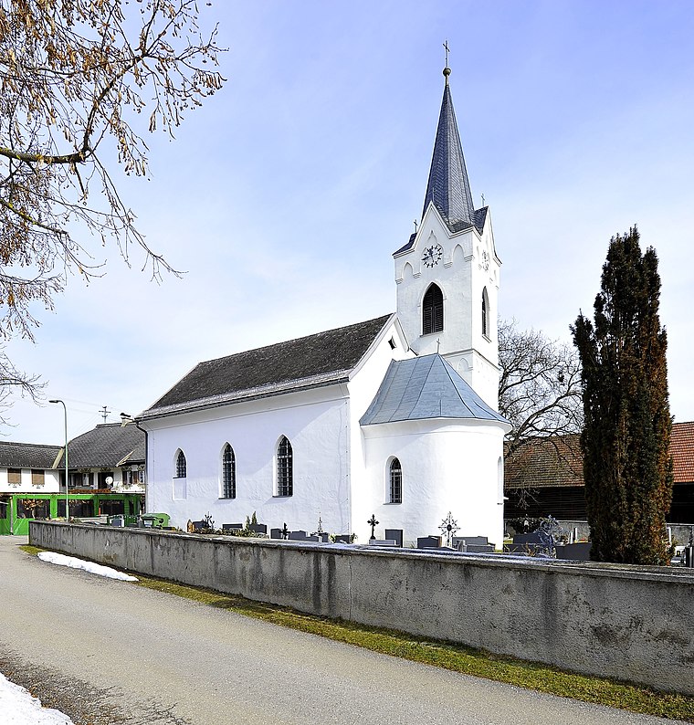
Photo: Johann Jaritz, CC BY-SA 3.0 at.
Pfarrkirche St. Niklas an der Drau (Villach) is a church.
Places in the Area
Nearby places include Wernberg and Faak am See.
Wernberg
Village

Photo: Johann Jaritz, CC BY-SA 3.0.
Wernberg is a municipality in the district of Villach-Land in the Austrian state of Carinthia.
Finkenstein am Faaker See
Town

Photo: Johann Jaritz, CC BY-SA 4.0.
Finkenstein am Faaker See is a market town in the district of Villach-Land in Carinthia, Austria.
Wauberg
- Type: Peak with an elevation of 689 metres
- Category: landform
- Location: Villach, Carinthia, Austria, Central Europe, Europe
- View on OpenStreetMap
Latitude
46.5865° or 46° 35′ 11″ northLongitude
13.9471° or 13° 56′ 50″ eastElevation
689 metres (2,260 feet)Open location code
8FRMHWPW+JROpenStreetMap ID
node 4509187838OpenStreetMap feature
natural=peak
This page is based on OpenStreetMap, Wikidata, and Wikimedia Commons.
We’d love your help improving our open data sources. Thank you for contributing.
Satellite Map
Discover Wauberg from above in high-definition satellite imagery.
Places with the Same Name
Discover other places named “Wauberg”.
Localities in the Area
Explore places such as Bogenfeld and Petschnitzen.
Notable Places Nearby
Highlights include Waldseilpark and 3D Bogenparcours.
Carinthia: Must-Visit Destinations
Delve into Klagenfurt, Wörthersee, Spittal an der Drau, and Friesach.
Curious Peaks to Discover
Uncover intriguing peaks from every corner of the globe.
About Mapcarta. Data © OpenStreetMap contributors and available under the Open Database License". Text is available under the CC BY-SA 4.0 license, except for photos, directions, and the map. Photo: Wikimedia, CC BY-SA 3.0.