Lorenzo Arenas
Lorenzo Arenas is a railway stop in Biobío, Southern Chile. Lorenzo Arenas is situated nearby to the church Parroquia San Francisco, as well as near the marketplace Negocio de provisiones.| Tap on a place to explore it |
Places of Interest Nearby
Highlights include Redonda Lagoon and Cementerio General de Concepcion.
Redonda Lagoon
Lake

Photo: Pabloshi, CC BY-SA 3.0.
The Redonda Lagoon is a lagoon located in the city of Concepción, Chile. It covers a surface of 41,000 square metres m² and contains the deepest lagoon of all the city, with a depth of 19 m.
Cementerio General de Concepcion
Cemetery
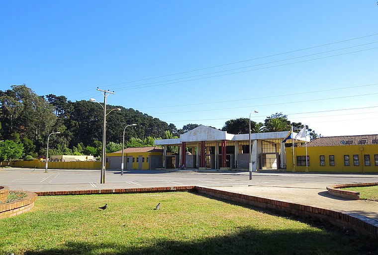
Photo: Pabloshi, CC BY-SA 3.0.
Cementerio General de Concepcion is a cemetery, which is situated 1 km south of Lorenzo Arenas.

Places in the Area
Nearby places include Lorenzo Arenas and Barrio Norte.


Barrio Estación
Neighborhood

Photo: LuisCG11, CC BY-SA 4.0.
Barrio Estación is a neighborhood, which is situated 2½ km southeast of Lorenzo Arenas.
Lorenzo Arenas
- Type: Railway stop
- Categories: transport stop and transportation
- Location: Biobío, Southern Chile, Chile, South America
- View on OpenStreetMap
Latitude
-36.80822° or 36° 48′ 30″ southLongitude
-73.0711° or 73° 4′ 16″ westOpen location code
47M85WRH+PHOpenStreetMap ID
node 4514677320OpenStreetMap feature
public_transport=stop_positionOpenStreetMap feature
railway=stop
This page is based on OpenStreetMap, Wikidata, and Wikimedia Commons.
We’d love your help improving our open data sources. Thank you for contributing.
Satellite Map
Discover Lorenzo Arenas from above in high-definition satellite imagery.
Places with the Same Name
Discover other places named “Lorenzo Arenas”.
Notable Places Nearby
Highlights include Lorenzo Arenas and Parroquia San Francisco.
Nearby Places
Explore places such as Lorenzo Arenas and Laguna Redonda - Carlos Oliver.
Biobío: Must-Visit Destinations
Delve into Concepción, Monte Águila, Chillán, and Isla Mocha.
Curious Railway Stops to Discover
Uncover intriguing railway stops from every corner of the globe.
About Mapcarta. Data © OpenStreetMap contributors and available under the Open Database License". Text is available under the CC BY-SA 4.0 license, except for photos, directions, and the map. Photo: Wikimedia, CC0.