Galeria de Lojas Vila Laura
Galeria de Lojas Vila Laura is a shopping center in Salvador, Grande Salvador, Bahia. Galeria de Lojas Vila Laura is situated nearby to the hospital CLINICA, as well as near the security checkpoint Posto Policial.| Tap on a place to explore it |
Places of Interest Nearby
Highlights include Swimming Olympic Centre of Bahia and Capela de São Cristóvão dos Lázaros.
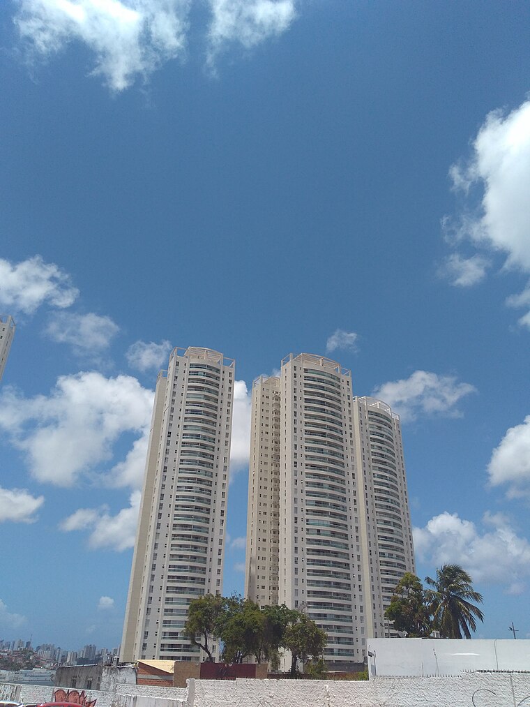
Swimming Olympic Centre of Bahia
Sports venue

Photo: Wikimedia, Public domain.
The Swimming Olympic Centre of Bahia, also referred to as Aquatic Sports Centre of SUDESB, is a sports facility aimed for the practice of swimming in the city of Salvador, capital of the Bahia state in Brazil. Swimming Olympic Centre of Bahia is situated 1 km southwest of Galeria de Lojas Vila Laura.
Capela de São Cristóvão dos Lázaros
Church

Photo: Wikimedia, CC BY-SA 4.0.
Capela de São Cristóvão dos Lázaros is a church, which is situated 1 km north of Galeria de Lojas Vila Laura.
Shopping Bela Vista
Shopping center

Photo: Ajmcbarreto, CC BY-SA 4.0.
Shopping Bela Vista is a shopping center, which is situated 1½ km east of Galeria de Lojas Vila Laura.
Places in the Area
Nearby places include Horto Bela Vista and Água de Meninos.

Itaigara
Suburb

Photo: Sitenl, CC BY-SA 3.0.
Itaigara is a neighbourhood located in the southeastern zone of Salvador, Bahia. Modern and bold lies in a region "noble" of the capital Bahia, inhabited mainly by people with high purchasing power. Itaigara is situated 3½ km southeast of Galeria de Lojas Vila Laura.
Galeria de Lojas Vila Laura
- Type: Shopping center
- Category: shop
- Location: Salvador, Grande Salvador, Bahia, Northeast, Brazil, South America
- View on OpenStreetMap
Latitude
-12.97236° or 12° 58′ 21″ southLongitude
-38.48841° or 38° 29′ 18″ westOpen location code
59V32GH6+3JOpenStreetMap ID
node 4517198046OpenStreetMap feature
shop=mall
This page is based on OpenStreetMap, Wikidata, and Wikimedia Commons.
We’d love your help improving our open data sources. Thank you for contributing.
Satellite Map
Discover Galeria de Lojas Vila Laura from above in high-definition satellite imagery.
Notable Places Nearby
Highlights include CLINICA and Posto Policial.
Nearby Places
Explore places such as Panilha Conveniência and Farmacia da vila.
Grande Salvador: Must-Visit Destinations
Delve into Santo Antônio de Jesus, Cachoeira, Itaparica, and Praia do Forte.
Curious Shopping Centers to Discover
Uncover intriguing shopping centers from every corner of the globe.
About Mapcarta. Data © OpenStreetMap contributors and available under the Open Database License". Text is available under the CC BY-SA 4.0 license, except for photos, directions, and the map. Photo: Wikimedia, CC0.