Gryon Barboleuse, gare
Gryon Barboleuse, gare is a bus stop in Gryon, Aigle District, Vaud and has an elevation of 1,210 metres. Gryon Barboleuse, gare is situated nearby to the tourism office Maison Tourisme La Barboleuse, as well as near the railway station La Barboleuse station.| Tap on a place to explore it |
Places of Interest Nearby
Highlights include La Barboleuse station and La Clairière station.
La Barboleuse station
Railway station

Photo: NAC, CC BY-SA 3.0.
La Barboleuse station is a railway station.
La Clairière station
Railway stop

Photo: NAC, CC BY-SA 3.0.
La Clairière station is a railway stop, which is situated 610 metres northwest of Gryon Barboleuse, gare.
Gryon station
Railway station

Photo: Whgler, CC BY-SA 3.0.
Gryon station is a railway station, which is situated 1¼ km southwest of Gryon Barboleuse, gare.
Places in the Area
Nearby places include Villars-sur-Ollon and Les Plans-sur-Bex.
Villars-sur-Ollon

Photo: בידל הפייטן, CC BY-SA 3.0.
Villars sur Ollon is a village in Switzerland in the canton of Vaud. It is part of the municipality of Ollon. Villars is a ski resort close to Montreux and Saint-Maurice, which offers a reasonable range of pistes at a moderate altitude.
Les Plans-sur-Bex
Village

Photo: Zacharie Grossen, CC BY-SA 4.0.
Les Plans-sur-Bex is a village, which is situated 3½ km southeast of Gryon Barboleuse, gare.
Huémoz
Village
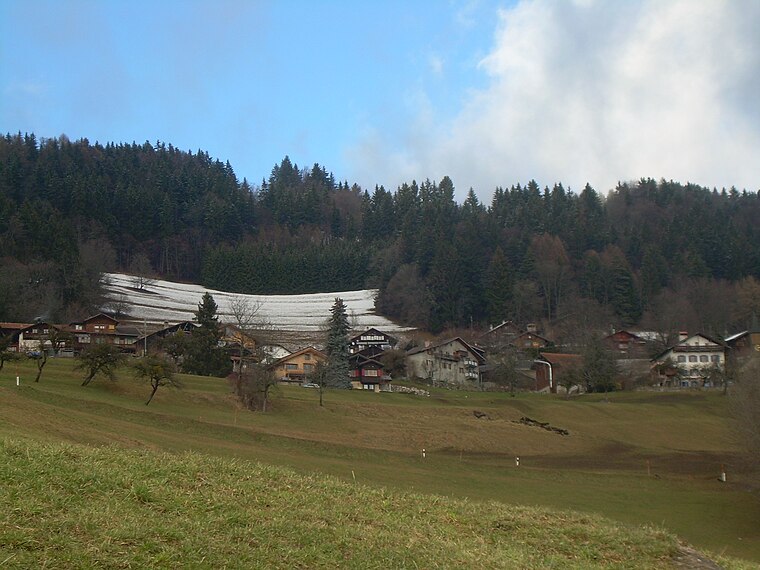
Photo: Emmanuelle Adjoa Bessi, CC BY-SA 4.0.
Huémoz is a village, which is situated 3½ km west of Gryon Barboleuse, gare.
Gryon Barboleuse, gare
- Type: Bus stop
- Category: transportation
- Location: Gryon, Aigle District, Vaud, Western Switzerland, Switzerland, Central Europe, Europe
- View on OpenStreetMap
Latitude
46.28328° or 46° 16′ 60″ northLongitude
7.07116° or 7° 4′ 16″ eastElevation
1,210 metres (3,970 feet)Operator
Transports Publics du ChablaisOpen location code
8FR973MC+8FOpenStreetMap ID
node 454092861OpenStreetMap feature
highway=bus_stopOpenStreetMap feature
public_transport=platform
This page is based on OpenStreetMap, Wikidata, and Wikimedia Commons.
We’d love your help improving our open data sources. Thank you for contributing.
Satellite Map
Discover Gryon Barboleuse, gare from above in high-definition satellite imagery.
Notable Places Nearby
Highlights include Maison Tourisme La Barboleuse and Gryon Parc.
Nearby Places
Explore places such as La Terrasse and Anne coiffure.
Vaud: Must-Visit Destinations
Delve into Lausanne, Montreux, Nyon, and Vevey.
Curious Bus Stops to Discover
Uncover intriguing bus stops from every corner of the globe.
About Mapcarta. Data © OpenStreetMap contributors and available under the Open Database License". Text is available under the CC BY-SA 4.0 license, except for photos, directions, and the map. Photo: Annickjaquillard, CC BY-SA 4.0.